
AI news ·
West Virginia University engineers develop artificial intelligence system that detects wildfires and automatically repositions satellites for monitoring
West Virginia University engineers built an AI satellite system to autonomously detect and monitor wildfires. It aims to prevent $25 billion in losses.
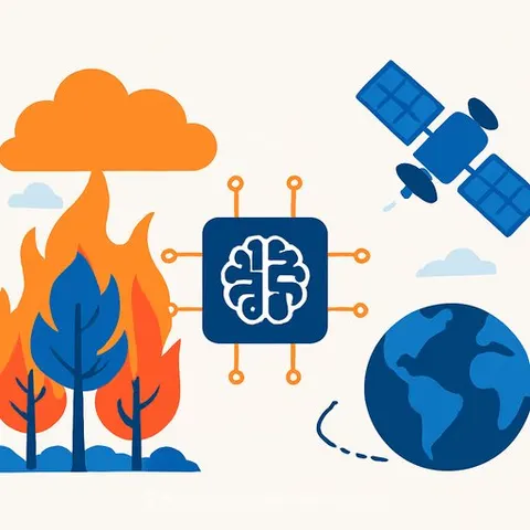
West Virginia University engineers have developed an AI framework that enables satellites to detect wildfires and autonomously reposition themselves for ongoing monitoring, a capability designed to give firefighters a head start against blazes that can consume hundreds of acres in under an hour. The system, called WildFIRE-DS, could help reduce the catastrophic losses seen in fires like the 2025 Palisades fire, which caused $25 billion in damages and destroyed over 6,800 structures.
The challenge of tracking fast-moving wildfires
"Wildfires move quickly - as fast as 15 to 20 mph under the right conditions - and major wildfires can cover hundreds of thousands of acres," said Hang Woon Lee, director of the WVU Space Systems Operations Research Laboratory. Both speed and terrain make containment difficult. Brycen Pearl, a doctoral candidate in aerospace engineering, said wind is the biggest driver of fire spread, and it's notoriously unpredictable. "For instance, a fire burning in a canyon can generate its own wind through a chimney effect, pulling air in from below and blasting flames up and out at great speeds. Also, large fires get so hot that they can change the atmosphere above them, creating clouds that are the fire's own personal thunderstorm."
Why satellites offer a better vantage point
Ground-based sensors and camera networks like ALERTCalifornia's AI Camera Network, which links over 1,200 high-definition cameras, can provide 24-hour monitoring, but they are limited to the areas where they are deployed. Satellites, in contrast, can monitor vast areas without local infrastructure. "Satellites need to pass overhead frequently, ground sensors need to be in constant operation, and data interpretation needs to occur in near-real-time," said undergraduate researcher Joshua Warner. A cooperative group of satellites sharing information and passing over hotspots can revisit a wildfire quickly, gathering data on vegetation, surface temperatures, and wind patterns.
WildFIRE-DS adds autonomous retasking
The WildFIRE-DS framework, developed by Pearl, Lee, and Warner with support from NASA's West Virginia EPSCoR program, goes beyond just detecting fires. It uses AI to interpret satellite imagery, validates accuracy with statistics, and then automatically retasks and repositions satellites for continued monitoring. This approach exemplifies how AI for IT & Development is being applied to complex aerospace systems. The algorithm's AI Agents & Automation capability allows satellites to set a new schedule autonomously, ensuring they are in the best position to see newly detected wildfires rather than staying where they were initially deployed.
Constellations of AI-powered satellites are on the horizon
Planned satellite constellations like Earth Fire Alliance's FireSat and the OroraTech Wildfire Constellation aim to have 50 to 100 satellites with the resolution to see fires as small as cars. Pearl said, "These constellations … are powered by AI to interpret many previous images of the same area to ensure the existence of a wildfire before automatically sending out firefighters - no need for someone to call 911 first." WildFIRE-DS adds the ability to reposition those satellites on the fly, increasing the frequency of observations. All these advances share a common goal, Pearl added: "giving firefighting crews a head start."
Why this matters for IT and development
The WildFIRE-DS framework demonstrates how AI can orchestrate multi-satellite systems, process real-time imagery, and make autonomous scheduling decisions - skills directly applicable to fields like edge computing, IoT, and autonomous systems. For IT professionals, the integration of statistical validation with machine learning models offers a blueprint for building reliable, automated decision pipelines in environments where latency and accuracy are critical.