AI agent for geologists
Geological Map Update Agent
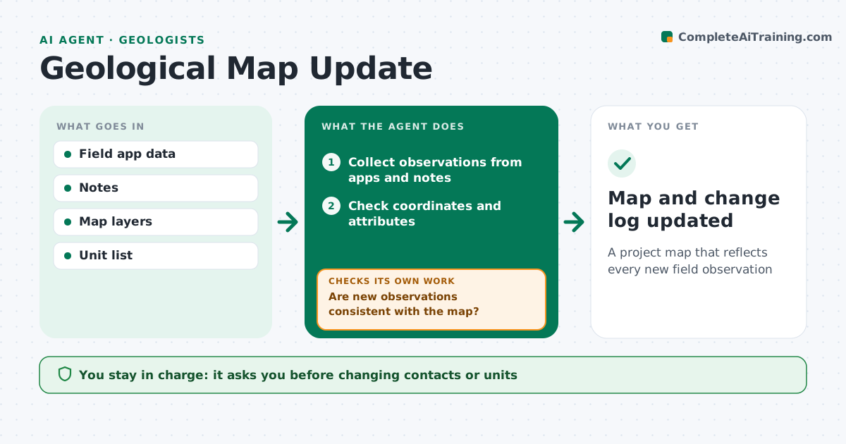
A project map that reflects every new field observation
What it does
Geological maps need updating as new outcrops, structures and samples come in from the field, and errors slip in when this is done in a rush. This agent collects new observations from mapping apps and field notes, checks coordinates and attribute values, and places them on the project map layers. It then looks for conflicts with what is already mapped, such as an outcrop of one unit inside an area mapped as another, or a dip that contradicts a mapped fold. Each conflict goes on a list for the geologist with the evidence on both sides. It drafts map updates and a change log so every edit can be traced. You approve any change to contacts or units. Edge case: a GPS point with a large error estimate is shown with its error circle and never used to move a contact.
How it works
Follow the arrows from top to bottom. The orange dashed arrow is the loop: when a check fails, the agent goes back and tries again.
Read the steps as a list
- Daily field data sync
- Collect observations from apps and notes
- Check coordinates and attributes
- Compare with existing map layers
- Are new observations consistent with the map?If not: list conflicts for the geologist. Back to step 3.
- Geologist approves map changesThe agent waits here for your OK.
- Map and change log updated
How it decides
It places observations with acceptable GPS accuracy and flags those that conflict with mapped units or structures.
- Exclude points with large GPS error from contact changes
- Flag unit conflicts
- Keep a change log
Make it yours
Every agent is a starting point. You choose these settings for your own situation.
- GPS accuracy limit
- Map layers
- Unit list
- Change log format
What keeps you in control
It always asks you first
- Changing contacts or units
Hard limits
- Never changes contacts without approval
It stops when
- Done: map updated
- Stop: field data not synced
Set it up
We guide you through the set-up, step by step
Members get the full set-up guide for this agent. No technical skills needed: you copy, paste and upload.
- One set of instructions to paste into your AI, with the clicks for ChatGPT, Claude, Microsoft 365 Copilot, Gemini and Grok
- The agent then walks you through connecting your own data, one source at a time
- A downloadable copy with the flow chart, the rules and the full guide