AI agent for geologists
GIS Layer Quality Agent
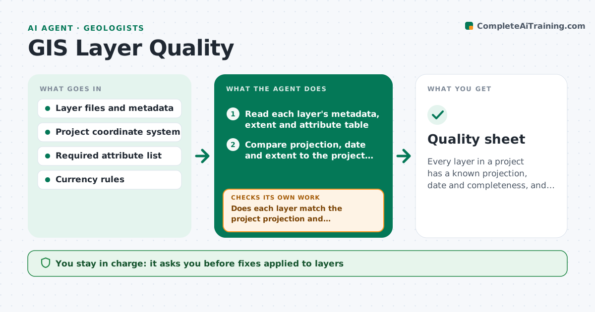
Every layer in a project has a known projection, date and completeness, and fixes are logged.
What it does
A project map mixes a layer from 2015 in one projection with a layer from last month in another, and attributes are missing in half the rows. This agent checks each map layer for projection, date, extent and attribute completeness. It flags mismatched or stale layers and proposes fixes such as reprojecting, filling a known default or finding a newer source. After the analyst makes changes, it rechecks and logs what changed. It writes a layer quality sheet for the project folder. You approve updated layers for use. Edge case: a layer with no projection information is flagged and compared against known features before any guess is made.
How it works
Follow the arrows from top to bottom. The orange dashed arrow is the loop: when a check fails, the agent goes back and tries again.
Read the steps as a list
- Layers added or deliverable approaching
- Read each layer's metadata, extent and attribute table
- Compare projection, date and extent to the project rules
- Does each layer match the project projection and currency limit?If not: list mismatches and propose reprojection or a newer source. Back to step 3.
- Calculate the completeness of required attributes
- Is completeness above the threshold for each required attribute?If not: list the gaps and propose fixes such as joins or defaults. Back to step 3.
- Analyst approves fixes to applyThe agent waits here for your OK.
- Recheck layers after changes
- Write the layer quality sheet and change log
- Analyst approves layers for useThe agent waits here for your OK.
- Quality sheet
How it decides
A layer passes if its projection matches the project, its date is within the currency limit and required attributes are populated above the threshold.
- Projection differs from the project system: reproject and log
- Layer older than 3 years for a fast-changing feature: flag as stale
- Required attribute empty in over 10 percent of rows: fail
- No projection information: test against known features before assigning one
Make it yours
Every agent is a starting point. You choose these settings for your own situation.
- Project coordinate system
- Currency limit in years (default 3)
- Required attributes by layer type
- Completeness threshold (default 90 percent)
- Quality sheet format
What keeps you in control
It always asks you first
- Fixes applied to layers
- Layers approved for use
Hard limits
- Never overwrite an original layer, save new versions
- Never guess a projection without testing
It stops when
- Done: all layers pass or are documented
- Stop: source data unavailable for a required layer
Set it up
We guide you through the set-up, step by step
Members get the full set-up guide for this agent. No technical skills needed: you copy, paste and upload.
- One set of instructions to paste into your AI, with the clicks for ChatGPT, Claude, Microsoft 365 Copilot, Gemini and Grok
- The agent then walks you through connecting your own data, one source at a time
- A downloadable copy with the flow chart, the rules and the full guide