About: GeoSpy.ai
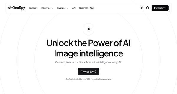
GeoSpy API is an advanced tool designed to analyze and interpret satellite imagery alongside spatial data, delivering precise geolocation insights. Utilizing sophisticated AI algorithms, it processes pixel data from millions of images to accurately identify geographic features such as buildings, terrains, and soil types. This capability allows users to determine locations globally with heightened accuracy.
The API is designed for seamless integration across various programming environments, including Python and Java, enabling developers to easily incorporate geolocation predictions into their applications. GeoSpy offers flexible pricing plans tailored to diverse needs: a free tier for analyzing up to 20 images, a scalable option for larger volumes, and an enterprise plan that provides customized solutions.
With comprehensive documentation and dedicated support, GeoSpy empowers developers while equipping businesses with advanced functionalities and priority assistance. Its unique ability to leverage enriched AI insights from extensive image datasets sets it apart, making it an invaluable resource for industries reliant on precise geographic data analysis.
Review: GeoSpy.ai
Introduction
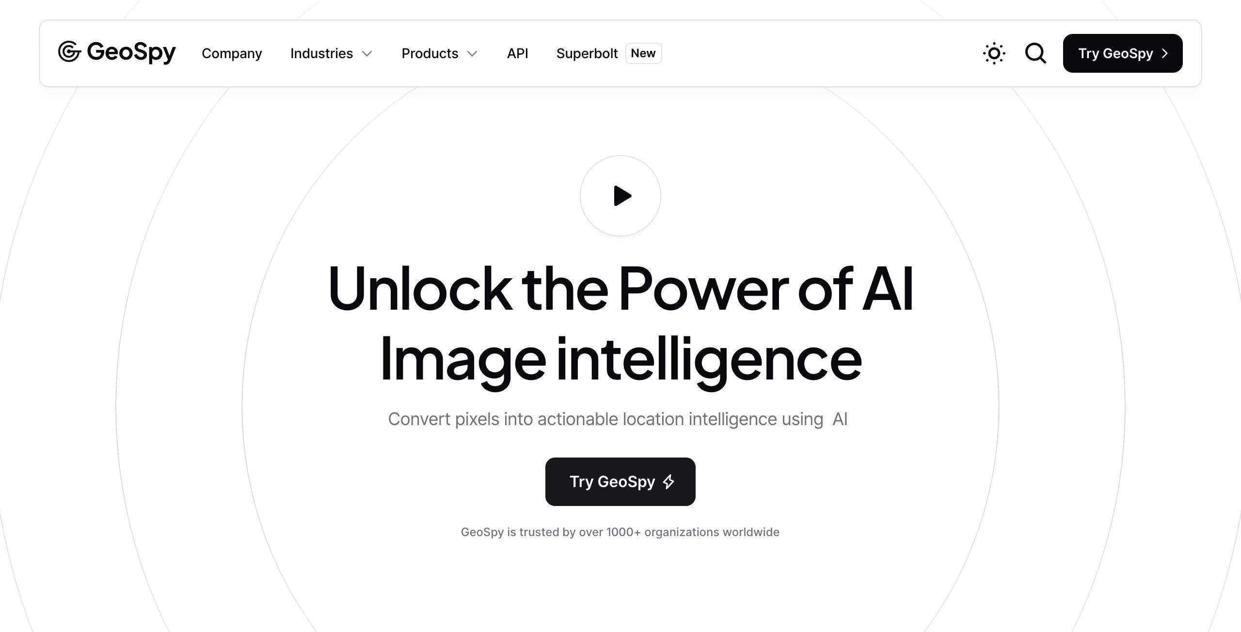
GeoSpy is a cutting-edge AI tool designed to analyze and interpret satellite imagery and spatial data, providing fast image geolocation by analyzing pixel data. Developed by Graylark Technologies Inc., GeoSpy is particularly designed for government, law enforcement agencies, and businesses that require precise and accurate geolocation intelligence. In today's data-driven world, where billions of images are generated daily, GeoSpy's ability to convert low-context photo data into actionable location intelligence is highly relevant and valuable.
Key Features
GeoSpy offers a variety of features that make it a standout tool in the field of image geolocation.
- AI-Enhanced Geolocation: Trained on millions of images, GeoSpy uses AI to enrich pixel data for global geolocation accuracy, identifying geographic features like architecture and soil.
- Integration with Programming Environments: Developers can seamlessly integrate the GeoSpy API into Python, Java, or other environments for obtaining geolocation predictions.
- Global Coverage: The tool supports deployment in over 120 countries, making it suitable for teams across various geographic regions.
- Scalability: Capable of processing over 200,000 images daily, GeoSpy is built to scale to billions, ensuring it can handle high-volume needs.
- Advanced AI Research: GeoSpy stays ahead of AI breakthroughs, partnering with users to develop and deploy state-of-the-art AI models.
Pricing and Value
GeoSpy offers a tiered pricing structure:
- Free Plan: Users can analyze up to 20 images without any cost, providing a risk-free entry point to test the tool's capabilities.
- Scale Plan: Designed for higher-volume needs, this plan accommodates users requiring more extensive image processing capabilities.
- Enterprise Option: Offers custom solutions with advanced features and priority assistance for businesses with specific and large-scale requirements.
Considering the robust feature set and scalability, GeoSpy provides excellent value, especially for organizations with significant geolocation needs, making it a competitive option in the market.
Pros and Cons
- Pros:
- Highly accurate geolocation predictions without needing EXIF data.
- Extensive global coverage suitable for international use.
- Scalable infrastructure capable of handling massive data volumes.
- Comprehensive integration support for multiple programming environments.
- Cons:
- Potential complexity in setup and integration for non-technical users.
- Detailed pricing tiers for Scale and Enterprise plans are not disclosed, which could affect budgeting for some users.
Final Verdict
GeoSpy is an exceptional tool for organizations and agencies seeking precise and scalable geolocation intelligence. Its robust feature set and AI-driven capabilities make it ideal for government, law enforcement, and businesses with large-scale image processing needs. However, smaller organizations or those with limited technical expertise might find the initial setup challenging. Overall, GeoSpy stands out for its accuracy, scalability, and integration flexibility, making it a highly recommended tool for those in need of advanced geolocation analysis.
Open 'GeoSpy.ai' Website
Your membership also unlocks:

