AI Hurricane Forecasting Just Leveled Up - Here's What Insurers Should Do About It
The 2025 season marked a clear turn: official agencies are now using AI to identify storm formation, track, and near-term behavior with greater precision. Early results show real promise, but one season does not make a trend. Treat AI as an accelerant to decision-making, not a replacement for established guidance, according to the 2025 Natural Catastrophe and Climate Report.
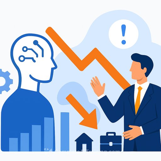
For insurance teams, this means faster signal, more scenarios, and tighter response windows. It also means knowing exactly where these models fall short so you don't overfit your strategy to a single tool. For background on how insurers apply these techniques, see AI for Insurance.
What Changed in 2025
- The US National Hurricane Center used data-driven AI to extend confidence in Atlantic track forecasts by multiple days. Track got better; intensity and precipitation remained tougher.
- Google's DeepMind tropical cyclone model produced 15-day ensemble forecasts and beat the US GFS on Atlantic tracks. Results were mixed elsewhere, underperforming physics-based leaders like ECMWF in the Western Pacific. Rapid intensification calls were less consistent.
- Key advantages: fast run times, lighter compute, and stable outputs across runs. Key risk: model skill depends on historical and reanalysis data quality.
- Regular retraining and calibration are mandatory, especially as oceanic and atmospheric baselines shift. Data gaps can underrepresent tail events - the ones that move your loss ratio.
- Bottom line from analysts: AI won't replace physics-based models, but it's becoming part of the stack. Investment is surging across public and private sectors. Many of these new systems draw on generative AI and LLM techniques; learn more about those approaches in Generative AI and LLM.
Why This Matters for Carriers and Reinsurers
- Earlier, more confident track guidance = earlier surge planning, vendor activation, and customer outreach. Hours matter; so do false positives.
- Intensity remains noisy, especially for rapid intensification. Reserve for scenario volatility; avoid single-number bets in RI-prone environments.
- Performance varies by basin. Global programs should weight guidance differently across regions and avoid copy-paste rules.
- Tail risk is still undercounted in many datasets. Capital and reinsurance decisions should reflect that gap.
Practical Moves for the Next Season
- Event readiness: Use AI track ensembles to set tiered triggers for field staffing, policyholder alerts, and supply chain staging 3-5 days earlier.
- Underwriting guardrails: Add RI buffers to wind deductibles, coverage terms, and moratoria timing when AI suggests high shear or warm eddies along the path.
- Cat modeling: Build a multi-model view (AI + NWP + TC specialists). Weight by historical skill in the basin and by lead time. Use ranges, not point estimates.
- Reinsurance/ILS: Update mid-season buying and reinstatement strategies with AI-informed scenario distributions. Stress parametric triggers for RI and stall-out rain.
- Claims: Link AI track cones to parcel-level surge and wind thresholds to pre-position adjusters and mobile units. Track false alarms to refine future triggers.
- Governance: Document which models inform each decision, keep version control, and audit forecast-to-outcome drift after every event. For leadership frameworks on adoption and governance, consult AI for Executives & Strategy.
- Monitoring: Expect retraining cycles. Set alerts for model updates and rerun backtests before changing operational thresholds.
How to Blend AI With Physics-Based Guidance
- Ensemble first: Combine AI outputs with ECMWF, NHC advisories, and regional TC models. Don't over-weight any one source, especially beyond 5-7 days.
- Lead-time logic: Increase reliance on AI for early track screening; phase in physics-based models as the cone tightens.
- Human-in-the-loop: Require specialist review for RI calls, landfall timing within 48 hours, and precipitation extremes.
- Loss calibration: Translate forecast variables to your book: construction class, secondary modifiers, surge exposure, and infrastructure fragility.
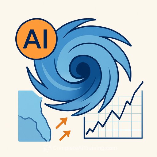
Who's Building What - And Why Energy Now Matters
Public agencies and Big Tech are investing heavily. Examples include ECMWF's AI/Integrated Forecasting System (AIFS) and NOAA's Project EAGLE, with large efforts from Microsoft, IBM, and NVIDIA. Expect faster iteration cycles and more accessible ensembles.
There's a catch: AI's data center growth increases electricity demand. How quickly grids add clean capacity will influence long-run emissions - and long-run risk. Track the climate feedback loop while you adopt the tech.
What to Watch Next
- Skill by basin and seasonality - is 2025 repeatable or an outlier?
- Improvement on intensity and RI cycles - the piece that drives outsized losses.
- Data transparency - training sets, reanalysis updates, and known blind spots.
- Operational reliability - uptime, version changes, and run-to-run stability during active events.
AI is now a core ingredient in hurricane forecasting. Use it to move earlier, communicate clearer, and stress your book with better scenario spread. Keep physics-based models in the loop, maintain strict governance, and price the tails like they still exist - because they do.
If your teams need a fast ramp on AI fundamentals for risk and analytics, explore AI for Insurance and related courses.
Your membership also unlocks: