AI Model Enhances Global Rainfall Mapping with High Resolution
Severe weather events like heavy rainfall and flooding are becoming more frequent across the globe. Accurate data on these events is essential for protecting lives and property, yet many regions lack detailed weather information. Researchers at the Karlsruhe Institute of Technology (KIT) have developed an AI-based method that transforms low-resolution global weather data into high-resolution precipitation maps. This approach offers fast, efficient, and location-independent insights into rainfall patterns.
Their study, published in npj Climate and Atmospheric Science, presents a new tool for analyzing extreme weather events worldwide, including areas with limited data coverage such as parts of the Global South.
From Coarse Data to Detailed Rainfall Patterns
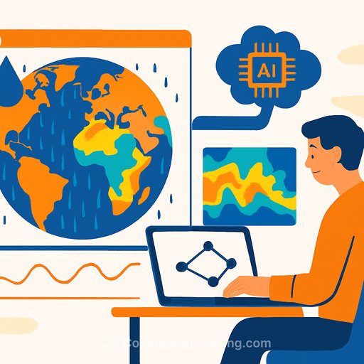
The researchers trained their generative AI model, named spateGEN-ERA5, using hourly global precipitation data with a spatial resolution of about 24 kilometers. They enhanced the model's accuracy by incorporating high-resolution radar measurements from Germany, enabling it to understand how precipitation patterns relate across multiple scales.
Unlike simple upscaling techniques, this AI generates multiple physically plausible precipitation maps at a finer resolution—down to 2 kilometers and 10-minute intervals. It also estimates the statistical uncertainty of its predictions, which is crucial for evaluating regional heavy rainfall events.
Validation tests using radar data from the United States and Australia demonstrated the model's adaptability to different climate conditions, confirming its global applicability.
Improving Flood Risk Assessment Worldwide
The global reach of this AI method opens new possibilities for better regional climate risk assessments. Vulnerable regions that often lack detailed weather observations stand to benefit most. By providing reliable forecasts of where heavy rainfall and flooding might occur, the model supports emergency disaster response and long-term planning, such as flood control measures.
- Generates high-resolution rainfall maps from coarse global data
- Captures fine-scale precipitation details at 2 km and 10-minute intervals
- Includes uncertainty estimates to improve confidence in predictions
- Validated across diverse climatic regions
- Supports better flood risk assessments, especially in data-poor regions
This innovation offers valuable insights for meteorologists, climate researchers, and disaster management professionals aiming to enhance preparedness and resilience against extreme weather.
For more on AI applications in environmental science and climate, visit the AI Tools Database.
Reference: Luca Glawion et al. Global spatio-temporal ERA5 precipitation downscaling to km and sub-hourly scale using generative AI, npj Climate and Atmospheric Science (2025). DOI: 10.1038/s41612-025-01103-y
Your membership also unlocks: