October 20, 2025
AI speeds up Antarctic seafloor biodiversity analysis
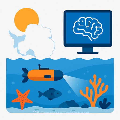
New AI tools are changing how researchers study life on the Antarctic seafloor. What used to take hours of manual annotation per image can now be done in a few seconds, with expert review layered on top. On research vessels, this is fast enough to label photos as they're captured, which means more ground covered and sharper decisions about what to protect.
Why this matters
The Antarctic seafloor hosts over 94% of known Southern Ocean species-many found nowhere else and adapted to below-zero water. These organisms face pressure from warming, sea-ice shifts, and human activity. Faster, non-destructive monitoring gives scientists the density and coverage needed to spot risks early and guide protection efforts with confidence.
How the system works
Researchers trained the model on high-resolution imagery collected aboard Germany's RV Polarstern in the Weddell Sea. The frames are crowded: odd body plans, layered organisms, overlapping textures-sometimes featuring species new to science. From 100 carefully labeled images spanning varied conditions, the system learned to detect common seafloor life such as starfish, corals, sponges, and fish.
Once trained, the model can find and label the same categories across regions of the Southern Ocean. The human-in-the-loop setup keeps accuracy high while pushing throughput to a level manual workflows can't match.
Throughput and deployment
Teams are already running a backlog of 30,000+ images from the Antarctic Peninsula and Weddell Sea through the pipeline. Processing now fits the tempo of field campaigns-photos can be triaged on the ship, not months later in the lab. That changes what you can attempt in a single cruise: better sampling strategies, quicker feedback loops, and stronger coverage of sensitive habitats.
Less disturbance, better data
Historically, much biodiversity data came from dredging and trawling. High-resolution photography paired with AI provides comparable insights while leaving fragile communities intact. For conservation planning, that's a practical win: richer datasets, minimal impact.
What researchers can do now
- Adopt human-in-the-loop QA: let the model pre-label, then have experts verify edge cases and rare taxa.
- Define clear class lists and a protocol for "unknown" categories to avoid forcing mislabels.
- Track dataset drift: new regions and seasons will shift appearance; schedule periodic re-training.
- Standardize metadata (location, depth, camera settings) to support model diagnostics and policy use.
- Plan for compute at sea: modern GPUs or optimized CPU inference can deliver near real-time results.
What the experts say
According to the team, bringing AI alongside specialists shrinks analysis from up to eight hours per photo to just seconds. That speed lets them process far more imagery and focus attention where ecological questions are hardest and stakes are highest.
Bottom line
AI-assisted image analysis is making Antarctic benthic surveys faster, broader, and less invasive. The result is a stronger evidence base for protecting habitats that are both unique and vulnerable.
Read more
Imagery referenced: AWI OFOBS team, PS118 (RV Polarstern).
Your membership also unlocks: