BRIN Head Calls for AI to Advance Remote Sensing and National Tech Independence
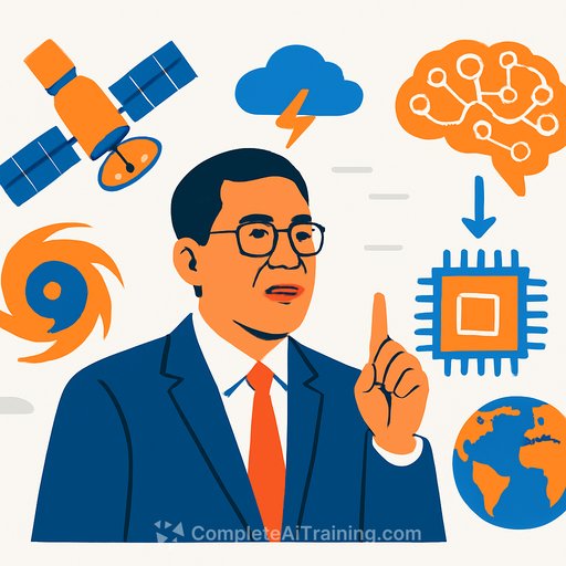
On Monday, December 29, 2025, the Head of Indonesia's National Research and Innovation Agency (BRIN), Arif Satria, urged researchers and industry to apply Artificial Intelligence to remote sensing. The goal is straightforward: turn imagery into decisions, and build the country's independence in critical technologies.
"Satellite images can be interpreted directly, not just displayed as pictures," said Arif. He highlighted AI-driven analysis and 3D modeling to compare pre- and post-disaster conditions with speed and precision-vital for a country spread across thousands of islands.
Why this matters for disaster response
Fast, reliable analysis saves time during floods, landslides, volcanic activity, and wildfires. AI supports change detection, damage assessment, and prioritization for field teams.
3D modeling from stereo pairs and radar interferometry helps estimate terrain shifts, building damage, and access routes. The result: clearer situational awareness and quicker, more targeted action. These capabilities also support logistics and route planning for emergency response; teams responsible for transport and routing can consult the AI Learning Path for Transportation Managers for role-specific guidance.
Research focus at BRIN: cross-field and close to real needs
Arif set a clear direction: accelerate AI innovation with collaboration across electrical engineering, telecommunications, and data science. Research should be sharper, practical, and tied to the needs of citizens and local stakeholders.
He also emphasized strengthening the national electronics industry. That means researchers who understand both the tech and the market-standards, supply chains, cost, and where Indonesia can compete.
Practical directions for teams building EO + AI capability
- Data pipeline: Combine optical (e.g., multispectral) with SAR for all-weather coverage. Use consistent tiling, metadata, and versioning.
- Preprocessing: Cloud masking, atmospheric correction, SAR calibration and speckle filtering. Normalize across sensors and time.
- Tasks to prioritize:
- Change detection for floods, landslides, and urban expansion
- Semantic segmentation for land cover, burn scars, and debris
- Object detection for critical infrastructure and ships
- 3D and deformation: Stereo DSM/DTM generation and InSAR for ground displacement to support damage grading and route planning.
- Labels and evaluation: Pair satellite data with ground truth from agencies and NGOs. Track precision/recall, IoU, and time-to-decision.
- Models: Start with proven segmentation and change-detection architectures. Fine-tune with local data; consider SAR+optical fusion.
- MLOps: Reproducible training (MLflow or similar), data catalogs, CI for models, and human-in-the-loop review for edge cases.
- Deployment: APIs for emergency dashboards, lightweight edge models for drones and field units, and clear escalation playbooks.
- Governance: Document data sources, model limits, and bias. Run post-incident reviews to improve pipelines.
Strengthening the electronics industry: from lab to market
- Edge AI readiness: Design boards that run inference efficiently (thermal, power budgets, ruggedization).
- Comms & sensing: Integrate telemetry, GNSS, and resilient links for field devices and UAVs. Coordinate with telecom standards and spectrum rules.
- Standards & reliability: Test for environmental stress, EMI/EMC, and local certification. Build service networks and spares logistics.
- Market fit: Prioritize high-demand use cases: disaster mapping kits, agriculture monitoring, coastal surveillance, and city planning.
Getting started: datasets, tools, and upskilling
Use open data and proven workflows while building local datasets and expertise. Explore resources from BRIN and leading space data programs.
- BRIN official site for programs, collaborations, and research facilities
- NASA Earthdata for global EO datasets and tutorials
If your team needs a structured path to build AI skills for geospatial analysis and MLOps, see our curated tracks by role, including the AI Learning Path for Research & Development Engineers.
Bottom line: Arif Satria's message is clear-move from imagery to insight, faster. With cross-disciplinary work and a focus on real use cases, BRIN can turn AI and remote sensing into a strategic asset for disaster response and national tech independence.
Your membership also unlocks: