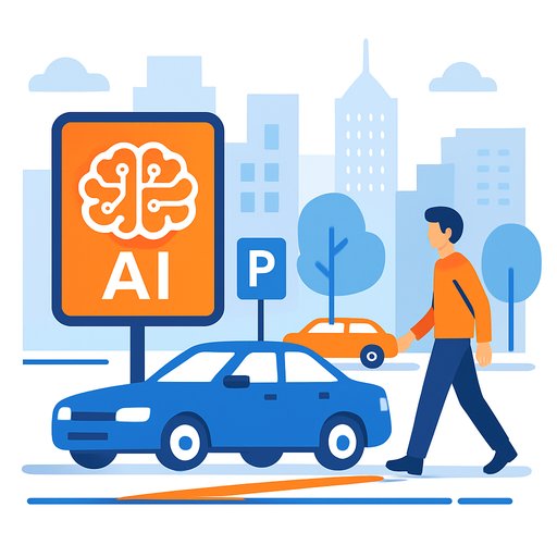
Boston opens AI-powered "Curb Lab" to optimize public space
Boston's Office of Emerging Technology has launched the Boston Curb Lab, an AI-driven effort to make curb space work better for residents, businesses, and city operations. Funded by a U.S. Department of Transportation SMART Grant, the Lab is building a living database of curb regulations and digitizing parking rules into a searchable citywide map.
Curbs carry a lot of load: loading zones, bus stops, bike corrals, accessible drop-offs, outdoor dining, and more. The goal is simple-reduce confusion, cut unnecessary cruising, and make streets safer and more predictable.
What the Curb Lab actually does
The team is centralizing curb rules that used to sit in disconnected systems-sign inventories, permit logs, spreadsheets, and PDFs-into one AI-managed source of truth. That data powers a real-time inventory of curb use, loading restrictions, and time limits across the city.
"Every delivery truck circling for a loading zone adds congestion and emissions. Every unclear sign and process creates unnecessary confusion and safety risks," said Michael Lawrence Evans, director of the Office of Emerging Technology. "These problems affect how people get around, how businesses operate, and the quality of life in our neighborhoods. The Curb Lab is our answer to that challenge."
Standards and open tools behind the scenes
Boston is applying the Open Mobility Foundation's Curb Data Specification to describe curb zones in a consistent, machine-readable way. This standard helps the city keep rules fresh, share changes quickly, and run analytics on where and when demand spikes.
Officials say the data can support public notifications, improve safety, track delivery congestion, and reduce cruising for parking-key drivers of urban traffic and emissions. For context, see the USDOT program behind the funding and the curb standard used here:
Why this matters for agencies and researchers
Linking legacy curb data pays off fast. "For over 40 years, our curb data has lived in disconnected systems that didn't talk to each other," said Amelia Capone, Boston's director of parking and curbside management. "Through the Curb Lab's leadership, we're finally able to link these systems together. That means less duplication of work, faster response times to constituent requests, and better internal coordination that will directly improve traffic flow and safety on our streets."
For government teams, this means clearer rules, fewer violations, and a cleaner feedback loop between policy and street-level behavior. For researchers, it unlocks consistent, standard datasets for studying curb demand, freight activity, and the impact of policy tweaks.
How it works in practice
- Digitize curb and parking rules citywide, including time limits, permits, and exemptions.
- Normalize the data with the Curb Data Specification for interoperability across departments and vendors.
- Use AI to reconcile conflicts, flag anomalies, and surface hotspots (e.g., frequent double-parking blocks).
- Publish a searchable map so residents, delivery drivers, planners, and businesses can find accurate curb rules fast.
- Feed updates into operations: signage changes, dynamic loading policies, targeted enforcement, and public notifications.
Signal from other cities
Boston joins a growing list of municipalities modernizing curb management. Ann Arbor built a digital curb inventory to reduce violations and manage demand. Minneapolis and Seattle are using SMART grants to balance freight activity with pedestrian safety and transit needs.
What to watch next
- Public map rollout and API access for logistics providers and app developers.
- Metrics that matter: reductions in cruising time, emissions proxies, double-parking complaints, and bus delay minutes.
- Dynamic policies: time-based loading windows, pricing pilots, and geofenced drop-off rules for TNCs and delivery fleets.
- Cross-agency adoption: linking curb data to transit priority, Vision Zero, and goods movement strategies.
If you're looking to replicate this
- Inventory every source of curb rules-sign databases, permits, spreadsheets, ordinances.
- Adopt an open standard (like CDS) before you scale. It prevents rework later.
- Create a single authoritative database and automate updates from permitting and 311 systems.
- Start with high-friction blocks (chronic double-parking, hospitals, schools, commercial cores) for visible wins.
- Publish the map early, then iterate based on user feedback and operational data.
For teams building in-house skills to run projects like this, see the AI Learning Path for Transportation Managers.
Your membership also unlocks: