From Risk to Readiness: Drones, AI and GIS Move Disaster Management From Talk to Execution
Cities are facing higher climate risk and heavier strain on infrastructure. Waiting for the next flood or drought to hit is a bad strategy. The safer move is building systems that see risk earlier and mobilize teams faster.
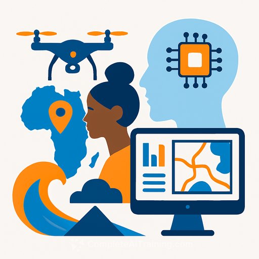
The 4th Annual Southern African Drone, AI and GIS Conference in Durban makes that shift concrete. Leaders and practitioners showed how these tools are changing preparedness, response, and recovery across the SADC region.
Hosted by QP Drone Tech with South Africa Flying Labs, WeRobotics, and Esri, the event brought together government leaders, SADC dignitaries, drone operators, GIS specialists, academics, and civil society. The focus: practical solutions that remove delays, reduce loss, and strengthen resilience.
Delegates shared field results: rapid aerial mapping during floods to direct resources within hours, and AI-driven models to forecast drought, allocate water, and prioritize relief. The through-line was clear-innovation used with intent saves lives and livelihoods.
Minister of Cooperative Governance and Traditional Affairs, Velenkosini Hlabisa, put the urgency into context for KwaZulu-Natal. "Investing in technology is no longer optional; it is an urgent necessity," he said. "By learning from SADC communities and leveraging tools like drones, AI, and GIS, we can predict risks earlier, respond faster, and protect lives and livelihoods."
Collaboration was a core theme. Experts across disciplines emphasized that effective risk management depends on shared data standards, open communication, and cross-border partnerships that move knowledge-not just equipment.
eThekwini Deputy Mayor Councillor Zandile Myeni added, "Technology and government must work hand in hand to safeguard communities against climate change and urbanisation." She continued, "Through partnerships forged here, eThekwini will integrate advanced solutions into its disaster management framework, building stronger, adaptive, and more resilient communities."
Another priority: pairing technology with capacity building. Tools only deliver value when local teams are trained, communities are engaged, and processes are simple enough to execute under pressure.
Queen Ndlovu, CEO of QP Drone Tech, underscored a proactive stance: "Investing in technology for preparedness, not just for response, is key to saving lives and protecting livelihoods." The message was consistent-reduce disaster impact by acting before the crisis, not after.
As the summit closes on November 5, attendees are set for live drone demonstrations at Moses Mabhida Stadium and hands-on GIS workshops-clear, real-time examples of how these systems perform under field conditions.
What Management Should Do Next
- Establish an integrated risk data layer: unify satellite, drone, weather, and ground reports into a single operational view for your city or region.
- Define drone deployment playbooks for floods, fires, and search-and-rescue: who activates, flight corridors, data ownership, and handoff to responders.
- Adopt predictive models for floods and drought: set thresholds that trigger early action and pre-positioning of resources.
- Fund training and certification for in-house teams and local partners: GIS, drone ops, and AI tools must be usable by the people on the ground.
- Formalize cross-border and inter-agency agreements: share data standards and communication protocols before emergencies hit.
- Build governance into the stack: privacy, data retention, procurement, and maintenance plans that survive leadership changes.
- Run quarterly drills that test tech and teams end-to-end: measure time-to-decision, time-to-deployment, and coverage accuracy.
If you need a policy backbone for this work, the Sendai Framework offers a proven structure for disaster risk reduction. See the overview from the UN Office for Disaster Risk Reduction: UNDRR: What is the Sendai Framework?
Building internal skills is often the fastest lever. For managers aligning teams around AI-driven operations and mapping workflows, curated training can help you close the gap: AI courses by job role.
The takeaway from Durban is simple: readiness is a choice. With clear roles, shared data, and practical technology, leaders can protect communities better-and recover faster when disaster strikes.
Your membership also unlocks: