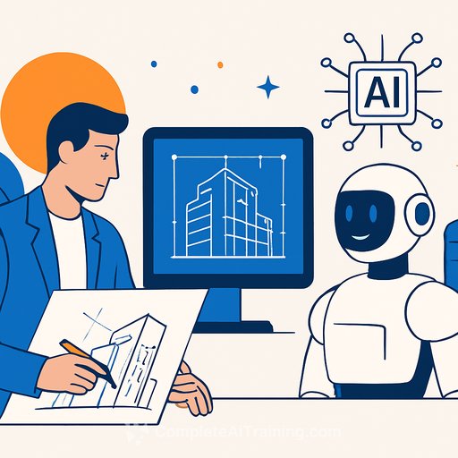
AI in Geospatial Workflows: What Real Estate and Construction Teams Should Act On Now
Rochester, NY - Eagleview has released its first AI Impact and Adoption Report, focused on how geospatial pros are putting AI to work across government, insurance, construction, utilities, and real estate. The short version: optimism is high, adoption is early, and accuracy is the non-negotiable. If you manage portfolios, field teams, or budgets, the findings point to practical wins you can implement this year.
Key takeaways (fast facts)
- 48% are cautiously optimistic about AI; 23% are strongly enthusiastic.
- Accuracy is the top concern for 66% of respondents.
- Only 5% say their organization is deeply familiar and actively using AI today.
- 44% expect AI investment to increase in the next 12 months.
- Top barriers: lack of internal expertise (43%), implementation cost (19%), privacy/security (13%).
- Most-wanted capabilities over the next 3 years: AI-enhanced geospatial analytics (50%), change detection and predictive insights (46%), remote property assessments (43%).
- Who influences AI decisions: C-suite (41%), GIS teams (33%), IT/data science (31%).
- Top buying criteria: accuracy, ROI, and fit with existing workflows.
What this means for real estate and construction
Remote property assessments can cut site visits, accelerate due diligence, and reduce travel costs without sacrificing quality. AI-driven change detection supports progress tracking, schedule risk alerts, and pay app validation with objective evidence.
Portfolio and asset teams can prioritize repairs with clearer visibility into roof condition, footprint changes, and hazard exposure. For developers and GCs, faster aerial insights translate to tighter bids, fewer surprises, and quicker approvals.
How teams plan to use AI next
- AI-enhanced geospatial analytics: layer imagery, permits, and property data for clearer site selection and budgeting.
- Advanced change detection and predictive insights: monitor job sites, detect encroachments, and spot deviations early.
- Remote assessments: pre-visit scoping, roof measurements, and scope verification without delaying crews.
A simple playbook to move from pilot to results
- Pick one measurable use case: roof assessments, progress verification, or damage triage.
- Set a baseline: define accuracy thresholds, SLA expectations, and review steps.
- Keep humans in the loop: QA flagged items before decisions hit budgets or schedules.
- Integrate where people work: connect to your GIS, BIM, CMMS, or estimating tools to avoid duplicate work.
- Measure ROI monthly: track fewer truck rolls, cycle-time cuts, and rework avoided.
- Close the skills gap: upskill PMs, superintendents, and analysts on practical AI use cases.
What leaders are saying
"Across industries, teams are excited about the impact AI can have. But they're equally clear that accuracy, oversight, and real-world utility matter more than hype," said Piers Dormeyer, CEO of Eagleview.
"Whether teams are just beginning to explore AI or are ready to scale, they need partners who can meet them where they are," said Tripp Cox, Chief Product & Technology Officer of Eagleview. "We are committed to transparency, accuracy, and customer readiness which is why you will see us continue to roll out new, high-impact AI capabilities developed through Eagleview Labs."
Why Eagleview matters here
Eagleview brings nearly a decade of AI-enabled aerial intelligence with proven tools like automated change detection, sketch verification, and large-scale property analytics. Backed by a 3.5+ billion image library covering 94% of the U.S. and more than 300 patents, the company is positioned to help teams move from interest to outcomes.
The full AI Impact and Adoption Report is available now and includes benchmarks and recommendations for every stage of maturity. If accuracy, ROI, and workflow fit are on your checklist, this report will help you pressure-test vendors and use cases.
Next steps for your team
- Identify one field-heavy process that eats time and budget. Pilot remote assessments or change detection to prove value fast.
- Set accuracy guardrails and require model transparency before rollout.
- Level up your team's skills to reduce the "lack of expertise" barrier (43%). Consider targeted learning by job role. Browse AI courses by job.
About Eagleview
Eagleview is a leader in geospatial technology, known for aerial imagery and analytics used across multiple industries. Its imagery library spans 3.5 billion+ images covering 94% of the U.S., and its portfolio includes 300+ patents across software, imagery, and analytics.
Your membership also unlocks: