Smoothing Rough Waters: USU Data Scientists Use Deep Learning to Identify River Rapids
February 13, 2026
Undergraduate and graduate researchers at Utah State University turned a classroom problem into a continent-scale river image dataset and an AI-driven rapid detection pipeline. Their work led to a peer-reviewed paper in Remote Sensing and a presentation slated for USU's 2026 Spring Runoff Conference. See related Research on AI datasets and applied machine learning workflows.
From a seminar chat to a field-ready tool
A hallway conversation after an Ecology Center seminar sparked a collaboration between USU, the National Park Service, and the U.S. Geological Survey. Hydrologist Christy Leonard Stegman and statistician Brennan Bean framed a simple question for five undergrads in an applied machine learning course: Can AI spot specific rapid types in satellite imagery?
Two doctoral students mentored the team. What started as a 3,000-image pilot became a year-long buildout with real deliverables for water scientists and managers.
Why rapids matter
USGS researchers are exploring how the presence of rapids relates to discharge. If rapids can be detected from imagery with acceptable accuracy, managers can estimate flow in places without physical gauges and improve spatial coverage between stations. For context on how streamgages work, see USGS's overview of stream monitoring here.
What the students built
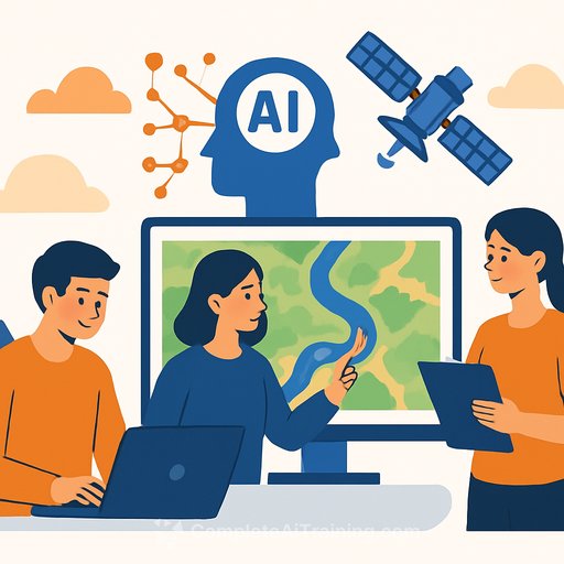
The team automatically collected more than 280,000 satellite images from Google Earth, then trained models to first isolate rivers and then identify rapids. They refined an image segmentation model to pull out river pixels and a classifier to predict rapid presence with strong performance for the task.
- Automated image collection across the continental U.S. and Alaska
- Segmentation to locate river channels within each tile
- Neural network classifier to flag rapid presence/absence
- Iterative error analysis, re-labeling, and model tuning
The result is a continental-scale, publicly available river image dataset that, to the team's knowledge, is among the first to focus specifically on rapids at this scope.
Who did the work
Faculty and agency collaborators included Brennan Bean (USU Mathematics and Statistics), Kevin Moon (USU Data Science and AI Center), Christy Leonard Stegman and Julie Bahr (National Park Service), and Carl Legleiter (U.S. Geological Survey). The students drove the build and analysis.
- Nicholas Brimhall (undergraduate, lead author)
- Kelvyn Bladen (doctoral student)
- Thomas Kerby (Ph.D.'25; now assistant professor, Brigham Young University)
- Cameron Swapp (undergraduate)
- Hannah Fluckiger (undergraduate)
- Makenna Roberts (BS'25; master's student, Duke University)
- Kaden Hart (undergraduate)
The team's peer-reviewed paper was published Jan. 22 in the journal Remote Sensing. Learn more about the journal's scope here.
Why it's useful
- Discharge estimation in ungauged or under-instrumented reaches
- Habitat assessment and geomorphic mapping at scale
- Resource allocation for monitoring and maintenance
- Recreation safety and trip planning
How practitioners can apply it
Use rapid detections to prioritize field campaigns, validate hydraulic models, or augment reach-scale discharge estimates. Pair the labels with local knowledge and targeted ground truthing to quantify uncertainty. Integrate outputs with existing decision-support tools to extend situational awareness beyond the streamgage network.
What's next
Statistics doctoral student Kelvyn Bladen will present the research at USU's 2026 Spring Runoff Conference, March 24-25, at the Cache County Event Center in Logan. The team expects the dataset and pipeline to support follow-on work across hydrology, geomorphology, and recreation management.
Want to strengthen your AI workflow?
If you're building similar geospatial or hydrologic tools, explore focused AI courses and skill paths curated for technical teams: AI Learning Path for Data Scientists.
Your membership also unlocks: