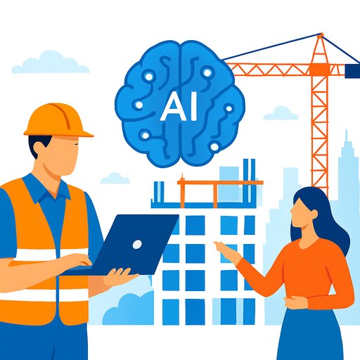

Marble: Spatial AI that turns job sites and buildings into living 3D models
World Labs has launched Marble, a multimodal 3D world model led by Li Fei-Fei, a Stanford professor known for co-creating ImageNet. Marble gives AI spatial intelligence so it can perceive physical layouts, light, movement, and objects across viewpoints-then represent them as editable, consistent 3D environments. For real estate and construction, this bridges the gap between drawings and the field.
Unlike text-only systems, Marble doesn't just predict the next word. It forecasts geometry, context, and aspects of physics so scenes can be explored, tested, and iterated with fewer blind spots than static renders or flat video.
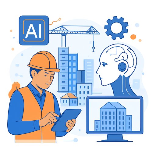
What Marble actually does
Marble ingests videos, images, and other inputs to reconstruct spaces as coherent 3D scenes. It keeps track of where things are, how light behaves, and how views relate as you move around. You can explore, edit, expand, or simulate those spaces-useful for preconstruction planning, design coordination, site logistics, and client reviews.
Most generative video looks real but often fakes physics. A glass "break" might ignore gravity or material limits. Marble pushes toward models that respect spatial consistency, letting teams test ideas with fewer surprises in the field.
Why this matters for developers, contractors, and owners
- Preconstruction and logistics: Convert site captures into a navigable 3D world model. Test crane paths, laydown zones, delivery windows, and worker routes. Reduce bottlenecks before work starts.
- Design development: Check daylight access, sightlines, egress, and occupant flow. Explore layout options in context and cut rework by catching issues earlier.
- Safety and training: Rehearse lifts, hot work procedures, and emergency egress. Turn near-miss data into simulations for toolbox talks and onboarding.
- Risk and insurance: Stress-test flood, wind, and seismic scenarios using real and synthetic data. Improve underwriting clarity and documentation.
- 4D and cost impact: Link staged models to schedules. Compare alternative sequences and quantify impacts on labor hours and equipment time.
- Operations and digital twins: Use Marble-like world models to support asset tagging, wayfinding, and maintenance in occupied buildings.
- Robotics enablement: Train robots and autonomous equipment in simulated 3D job sites to cut trial-and-error on live projects.
How LWMs differ from sensors on wheels
Autonomous vehicles rely on LIDAR, cameras, radar, ultrasonic sensors, GPS, and SLAM for a single task: driving. Large world models (LWMs) are different. They create general 3D representations that can reason across indoor, outdoor, and proposed spaces-able to remember scenes, plan actions, and move through them in simulation.
That shift points to "embodied AI," where assistants, tools, and robots act with spatial awareness across many job types, not just one.
Who is leading Marble
Marble is led by Li Fei-Fei, a Chinese American computer science professor at Stanford and co-director of the Human-Centered AI Institute. She co-founded ImageNet, the dataset that propelled modern computer vision. Learn more about her work at Stanford HAI and ImageNet.
A fast pilot plan for a developer or GC
- Pick one use case: Example: site logistics for a complex infill project with tight access.
- Capture reality: Collect drone video, 360 photos, and laser scans. Sync with current BIM where available.
- Build the world model: Generate a coherent 3D scene; tag paths, laydown, hazards, and phased work zones.
- Run scenarios: Compare three options (crane position, delivery timing, hoist location). Track walk distances, clash counts, and handling time.
- Validate on-site: Spot-check measurements and expected sightlines. Adjust the model where it drifts from reality.
- Report outcomes: Document reduced rework, fewer RFIs, safer access routes, and time saved on material handling.
KPIs worth tracking
- RFI volume, change orders tied to site constraints, and rework hours
- Schedule variance on logistics-driven tasks
- Material handling time per unit installed
- Near-miss frequency and incident severity
- Occupant flow and egress time in design reviews
Integration checklist for VDC/BIM teams
- Data sources: BIM (IFC/Revit), point clouds, drone imagery, and site video.
- Interoperability: Confirm import/export (e.g., USD, glTF) and metadata mapping for assets and phases.
- Compute and access: Cloud access for heavy processing; optional VR headsets for reviews.
- Governance: Version control for staged models, approvals for ground-truth updates, and clear site-data privacy rules.
- People: Upskill BIM/VDC leads and superintendents to review and annotate spatial models.
Limits and how to handle them
Physics fidelity varies by scene and material. Treat results as decision support, not a replacement for engineering-grade analyses. Site data can drift, and costs rise with high-resolution inputs.
- Run quick ground-truth checks before relying on outcomes.
- Keep a human-in-the-loop for safety-critical calls.
- Protect sensitive site imagery and contract documents.
- Benchmark model outputs against known measurements and past jobs.
What this could enable next
Expect shared 3D project rooms where owners, design teams, and field crews co-edit spaces and test scenarios in real time. As embodied AI matures, robots trained in these models can assist with layout, material moves, and quality checks with fewer site disruptions.
Get your team ready
Teams that can read, question, and refine spatial models will move faster from concept to keys. If you're planning training, see curated options by role at Complete AI Training.
Your membership also unlocks: