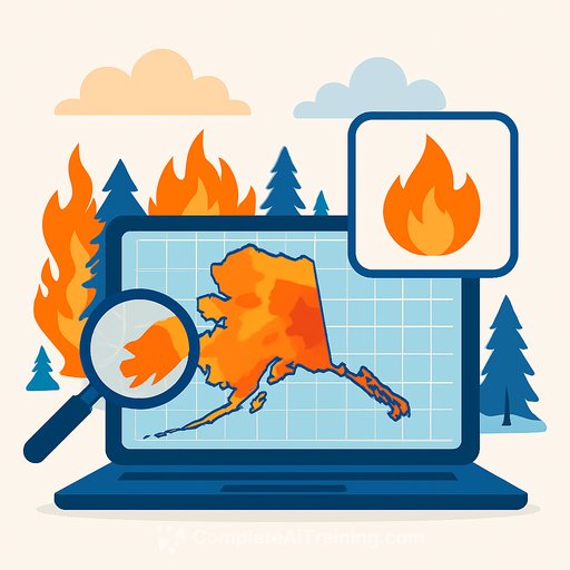
Using AI to predict wildfires in Alaska with high-resolution fuel maps
Alaska is cold, but it burns. In the last 25 years, the state saw three of its four largest fire seasons. Long summer daylight, warming trends, and dry vegetation set the stage. The risk hits both communities and military training lands.
Researchers at Arizona State University are addressing this with an AI-driven approach to map wildfire fuels at much higher resolution than current national datasets. Funded by the U.S. Army Engineer Research and Development Center (ERDC), the project aims to improve forecasting so land managers can act earlier and with greater precision.
"We have extensive experience using AI for environmental mapping and monitoring," said WenWen Li, the project's principal investigator and director of ASU's Spatial Analysis Research Center (SPARC). "This is a new and important application that will spark new ideas." Li's GeoAI team includes PhD student Chenyan Lu and research professional Chia-Yu Hsu.
Why Alaska burns
Heat and drought drive fires in places like Arizona and California. In Alaska, fuel is the force multiplier. Vast forests, tundra, and peatlands dry quickly under long summer days, creating continuous fuel beds. In 2022, Alaska accounted for nearly half of the total U.S. acreage burned.
From blurry to high-definition: what AI fuel maps add
Traditional fuel maps are too coarse to capture how fires actually spread across grasses, shrubs, dead wood, and tree canopy. Small gaps or dense patches matter, and low resolution hides those details. AI changes that by fusing satellite imagery, aerial photos, and topography to produce consistent, high-resolution fuel layers.
Existing national products like LANDFIRE offer broad coverage, but fine-scale detail is limited. Higher fidelity maps give modelers the inputs they need to estimate spread rate, intensity, and ember transport with more confidence.
How prediction works
Forecasts combine three inputs: fuels, weather, and terrain. Fuel maps describe what can burn and how continuously it's arranged. Weather adds wind, humidity, and temperature. Topography brings slope and aspect. Together they drive fire behavior models that simulate speed and direction. Better fuel data, better forecasts.
What's different about the ASU approach
The team's AI learns from diverse datasets (satellites, aerial imagery, and elevation) to infer fuel types and structure at fine scales. Because the models are trained across varied landscapes, they can generalize more reliably-producing consistent outputs across regions and ecosystems. That consistency is what operations teams can plan around.
Can this help while a fire is active?
Yes. High-resolution fuels make near real-time spread modeling more informative, which supports evacuation timing, resource placement, and indirect line construction. Suppression still depends on incident command decisions, but the data helps those decisions come faster and with clearer tradeoffs. The same maps guide long-term treatments like thinning and fuel breaks.
Direct impact for Alaska's communities and military lands
Interior Alaska includes 1.6 million acres of fire-prone military training terrain. Detailed fuel maps let managers anticipate risk around ranges, prioritize assets, schedule training windows, and protect nearby infrastructure. The same logic applies to towns that border wildlands: better inputs mean smarter mitigation and preparedness.
Project deliverables at a glance
- High-resolution fuel maps for Alaska that capture grasses, shrubs, downed woody material, and canopy structure.
- Consistent classifications suitable for fire behavior modeling across varied ecosystems (forest, tundra, peatlands).
- Integration guidance for risk assessment, planning, and operations.
- Methods that can be adapted to other regions beyond Alaska.
How researchers and land managers can use this
- Pair the high-resolution fuels with current weather and topography to run scenario analyses (spread, intensity, ember cast).
- Validate model outputs against recent burns and field observations to calibrate thresholds for local conditions.
- Identify treatment zones where small breaks in fuel continuity meaningfully reduce spread potential.
- Use short-term forecasts with updated fuel moisture to support daily operations during active incidents.
The effort is funded by the U.S. Army Engineer Research and Development Center (ERDC). While the immediate focus is Alaska, the approach is portable. With the right inputs, the same AI can support risk planning in other high-exposure landscapes.
Your membership also unlocks: