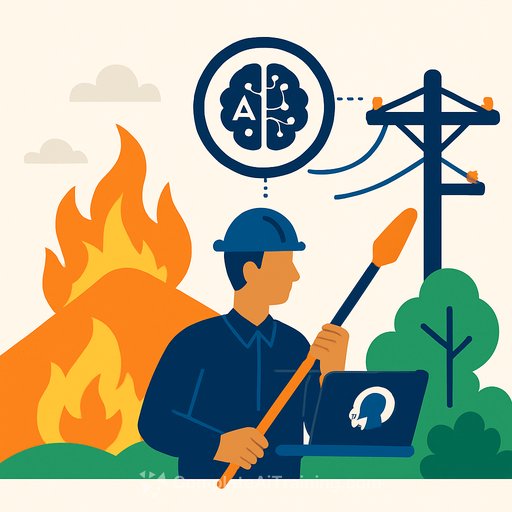
O&M Wildfires and Outages: How AI Can Fix Utility Vegetation Management
Vegetation keeps ecosystems healthy, but unmanaged growth is a top driver of outages and wildfire risk. Falling branches take down lines, roots break underground cables, and overgrowth near energized conductors can ignite catastrophic fires.
The financial hit is massive. Power interruptions cost Americans an estimated $150 billion each year, with vegetation a major contributor. Recent disasters tied to line faults show how high the stakes are for utility leaders.
The Vegetation Challenge
Fast-growing species reach into conductors. Wind, ice, and storms snap limbs into lines. Dry fuel near energized infrastructure turns a small spark into a regional crisis.
The industry has fought this for decades, but risk is rising while budgets tighten. Manual patrols and fixed trimming cycles no longer match the speed or scale of the problem.
Why Traditional Approaches Fall Short
Walking or driving remote corridors takes weeks and still misses critical segments. Helicopters expand coverage but add safety issues and cost. Many utilities admit vegetation budgets lag operational needs.
The result: growing exposure, shrinking coverage, and a widening gap between risk and resourcing.
LiDAR + AI: From Pictures to Decisions
LiDAR builds precise 3D point clouds across vast corridors in weeks, with centimeter-level accuracy. The data is objective, repeatable, and far more comprehensive than sporadic field notes.
AI models turn that data into decisions. They detect encroachments, assess tree health, map fall-in risk, and predict where fast growers will violate clearances next season. Crews get prioritized, geo-precise work orders instead of generic cycles.
- Data clarity: High-resolution 3D measurements of vegetation density, height, and clearance.
- Risk modeling: Growth forecasts combining historical growth rates, weather, and field inputs.
- Actionable output: Ranked segments, optimal trim prescriptions, and crew-ready tickets.
For an overview of LiDAR fundamentals, see the USGS primer on LiDAR technology: What is LiDAR?
Shift From Fixed Cycles to Risk-Based Scheduling
Trimming every three or five years wastes dollars where risk is low and leaves high-risk spans under-served. AI enables precision: sequence work by probability and consequence of failure.
- Target the top-risk corridors first.
- Reduce wildfire exposure by prioritizing high-fuel, high-wind, and high-temperature zones.
- Stay within clearance rules while avoiding unnecessary trims.
Results: fewer outages, lower emergency response, and better use of limited crews.
One Source of Truth: Your Vegetation Digital Twin
Consolidate LiDAR, drone imagery, satellite passes, growth history, and field photos into a shared platform. This living model supports planning, dispatch, and audits.
Continuous field updates plus annual LiDAR creates a current, defensible view for compliance, budgeting, and cross-functional coordination.
Implementation for Management: Make AI Work Inside Your Ops
AI must plug into OMS, GIS, SCADA, and asset systems so insights flow into the work you already do. No swivel-chair data entry. Human-in-the-loop review where it matters.
- Build the data pipeline: Ingest from LiDAR, drones, satellites, and crews; clean, standardize, and store consistently.
- Model to action: Run encroachment and growth models; auto-create tickets; update asset records; notify the right teams.
- Measure and iterate: Track hit rates, response times, and clearance compliance; refine models quarterly.
People, Training, and Change Management
Tools don't change outcomes-adoption does. Train planners, dispatchers, and crews on reading AI risk scores and work priorities. Start with a pilot region, prove results, then scale.
- Assign a change lead with field credibility.
- Deliver role-based training and hands-on sessions.
- Phase rollout to avoid overload and build trust with quick wins.
For AI upskilling resources aligned to job roles, explore Complete AI Training by job role.
Compliance and Security
AI platforms can produce timestamped, geo-located evidence of clearances and work performed, strengthening audit readiness against vegetation standards such as NERC FAC-003. Review the latest standards here: NERC Reliability Standards.
Centralization raises cybersecurity stakes. Protect cloud storage, field devices, and APIs with least-privilege access, MFA, encryption at rest/in transit, and continuous monitoring.
The Financial Case
Leaders need math, not hype. The numbers are compelling when risk is high and terrain is broad.
- Inspection cost reduction of 30-50% by replacing long patrols with LiDAR and targeted field verification.
- Outage reduction reports up to 45% when risk-based trimming is applied to priority corridors.
- Avoided wildfire and major outage liabilities that can reach hundreds of millions or more.
- Automated reporting that cuts audit prep time and penalties.
As models learn from each season, savings compound and scheduling becomes more precise.
90-Day Starter Plan
- Weeks 1-2: Define success metrics (SAIDI/SAIFI, clearance violations, unit cost per mile). Select a pilot region with mixed terrain and known trouble spots.
- Weeks 3-6: Fly LiDAR; ingest historical growth and outage data; stand up the data pipeline; integrate with GIS and work management.
- Weeks 7-10: Run models; generate ranked work packages; conduct field validation; adjust thresholds.
- Weeks 11-12: Execute targeted trims; measure results; build the executive business case for scale.
Bottom Line
Vegetation will keep testing the grid. With LiDAR and AI, utilities can shift from blanket cycles to precise, risk-first action-reducing outages, lowering wildfire exposure, and stretching tight budgets further. The path is clear: integrate, train, measure, and scale.
Your membership also unlocks: