UNAM Maps Landslide Risk by Linking Geology to Inequality
Researchers at Mexico's National Autonomous University (UNAM) have built an AI system that connects landslide vulnerability to social inequality, showing that risk varies dramatically between wealthy and low-income neighborhoods in the same areas.
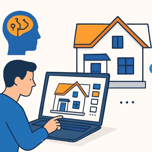
The mapping system processes 13 machine learning models to identify which zones face earth-flow hazards. But the real insight comes from layering geological data with 15 socioeconomic variables-housing conditions, education levels, access to health services-from Mexico's poverty assessment agency.
The result: a granular risk picture that authorities, insurers, and developers can use to make decisions. In lower elevations, social disadvantage is high but landslide risk is low. As elevation increases, susceptibility rises. High-income zones at those elevations see fewer problems because residents have better construction options and reinforcements. The poorest areas at the highest elevations face both terrain risk and poverty.
How the Model Works
UNAM researchers selected the Extreme Gradient Boosted Trees algorithm for its ability to handle large datasets with precision. To make results transparent to stakeholders, they used SHAP (SHapley Additive exPlanation) values-a technique that shows which specific variables drive each prediction.
The team studied five zones around Mexico City and the State of Mexico: the canyons of Huixquilucan and Naucalpan de Juarez, plus the boroughs of Cuajimalpa de Morelos and Alvaro Obregon. These areas mix rapid, often unregulated urban growth with complex terrain and water drainage patterns.
Mario Mercado, a researcher at UNAM's Institute of Economic Research, said the work started with a need to understand how gentrification affects infrastructure risk. Santa Fe, a study area, exemplifies the problem: luxury developments replaced low-income housing, leaving original residents in areas with inadequate drainage systems compared to engineered solutions in high-end projects.
What This Means for Construction and Real Estate
The findings matter because landslide risk has historically been treated as purely geological. UNAM's work shows that social factors-drainage quality, building standards, soil saturation from poor water management-amplify physical hazards.
For insurers, the model provides a tool to assess risk with both geological and social precision. For developers, it clarifies where infrastructure investment is most critical. For municipal authorities, it enables targeted interventions: reinforcing drainage systems, relocating families from extreme-risk zones, or upgrading housing in high-risk, high-poverty areas.
The use of multiple algorithms-rather than relying on a single model-gives B2B stakeholders higher statistical confidence in the results.
Similar Systems Emerging Elsewhere
Other regions are deploying comparable tools. Cali, Colombia launched an automated early warning system in June 2024 that forecasts rainfall-triggered landslides by recognizing terrain features, soil geology, and rainfall patterns. The system generates heat maps at 250-square-meter resolution and activates alarms when rainfall reaches critical thresholds measured by regional sensors.
NASA and IBM released Prithvi-EO-2.0, an open-source geospatial AI model, in March 2026. The system can be fine-tuned for specific regions with limited labeled data by training on high-quality datasets elsewhere. Researchers have used it to map coastal habitats and predict ecosystem carbon fluxes across different biomes.
Next Steps for Mexico
UNAM's mapping results could integrate with automated alert systems or foundation models like Prithvi to strengthen Mexican urban policy. The combination would allow governments to identify exactly which households face risk based on both physical and social factors, then deploy resources accordingly.
For professionals in real estate and construction, understanding how AI now bridges geology and inequality reshapes risk assessment, insurance pricing, and development strategy.
Learn more: AI for Real Estate & Construction and AI Data Analysis resources for professionals in the sector.
Your membership also unlocks: