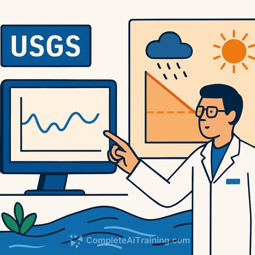
U.S. Geological Survey Releases Tool to Forecast Droughts 90 Days in Advance
The USGS released River DroughtCast on March 31, a machine learning system that predicts when rivers and streams will drop to abnormally low levels. The tool provides water managers, farmers, and municipalities advance warning to adjust operations and prepare for water shortages.
River DroughtCast forecasts streamflow drought-when rivers stay below normal levels for extended periods-rather than rainfall shortages. The distinction matters because soil moisture, snowpack, and groundwater all influence how dry conditions translate into reduced river flows, making streamflow drought harder to predict but critical for water planning.
How the System Works
The tool trains on data from thousands of USGS streamgages, some with more than 100 years of continuous records. Users can request forecasts between one and 13 weeks ahead, with the system most reliable in the first four to six weeks.
For the first week of severe or extreme drought, the tool correctly predicts conditions approximately 75% of the time. This accuracy drops to about 55% by week 13. All forecasts include confidence estimates so users understand prediction reliability across different timeframes.
Practical Applications
The tool fills a gap between short-term weather forecasts and seasonal water supply outlooks. Farmers using surface water irrigation can adjust planting schedules and crop selections. Municipal water managers can implement conservation measures earlier. Recreation operators can prepare for impacts to fishing, boating, and other water-dependent activities.
River DroughtCast currently covers more than 3,000 streamgage locations with at least 40 years of data. Developers are working on a next version to expand forecasts to areas without gauges and improve accuracy further.
Broader Context
The USGS has deployed AI for Science & Research across multiple projects, from accelerating critical mineral mapping to detecting earthquakes and invasive species. River DroughtCast demonstrates how AI Data Analysis can extract actionable forecasts from historical records.
The release aligns with Executive Order 14179, which aims to remove barriers to American leadership in artificial intelligence, and the Interior Department's AI transformation strategy.
Your membership also unlocks: