AI agent for land surveyors
Boundary Monument Recovery Log Agent
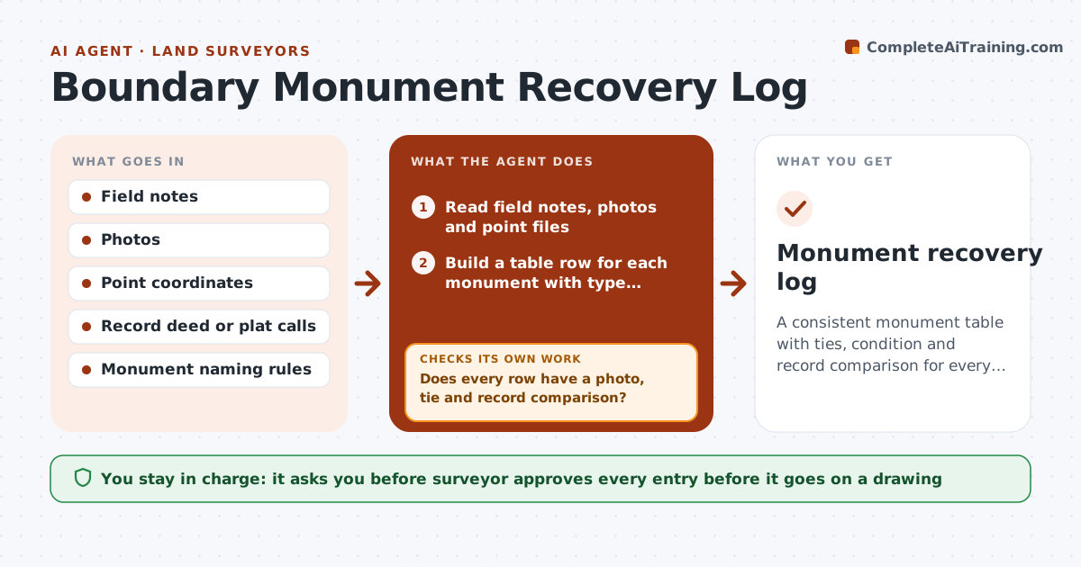
A consistent monument table with ties, condition and record comparison for every corner.
What it does
Two years later, a new crew spends half a day looking for an iron pin your party chief found, because the note said 'found pin at NE corner' with no tie. This agent builds the monument table after fieldwork. It reads field notes and photos, and records each monument's type, condition, offsets and ties. It checks each against the record deed or plat and flags discrepancies, such as a found rod 0.4 ft off the record position or a different cap stamp. It asks for missing photos or notes, then rechecks. You approve the entries before they go on the drawing. Edge case: a monument disturbed by construction is logged as disturbed with a photo, not as found in place.
How it works
Follow the arrows from top to bottom. The orange dashed arrow is the loop: when a check fails, the agent goes back and tries again.
Read the steps as a list
- Field day complete
- Read field notes, photos and point files
- Build a table row for each monument with type, condition and ties
- Compare each position and description with the record deed or plat
- Does every row have a photo, tie and record comparison?If not: List missing items and ask the crew for photos or notes. Back to step 3.
- Flag discrepancies above the tolerance
- Draft a recovery note for each flagged monument
- Are the flagged differences confirmed by the point data?If not: Correct the table from the point file and redo the comparison. Back to step 2.
- Surveyor approves entries before they go on the drawingThe agent waits here for your OK.
- Monument recovery log
How it decides
It compares each found monument's position and description with the record call and flags differences above the project tolerance.
- Flag differences over 0.3 ft from the record position
- Record disturbed monuments separately
- Require a photo and a tie for every monument
- Use the standard naming for types and caps
Make it yours
Every agent is a starting point. You choose these settings for your own situation.
- Tolerance (default 0.3 ft)
- Monument naming
- Required photos
- Record sources
What keeps you in control
It always asks you first
- Surveyor approves every entry before it goes on a drawing
Hard limits
- Never set or decide a boundary position
- Never alter field data
It stops when
- Done: log approved
- Stop: record documents unavailable
Set it up
We guide you through the set-up, step by step
Members get the full set-up guide for this agent. No technical skills needed: you copy, paste and upload.
- One set of instructions to paste into your AI, with the clicks for ChatGPT, Claude, Microsoft 365 Copilot, Gemini and Grok
- The agent then walks you through connecting your own data, one source at a time
- A downloadable copy with the flow chart, the rules and the full guide