AI agent for land surveyors
Datum and Coordinate System Check Agent
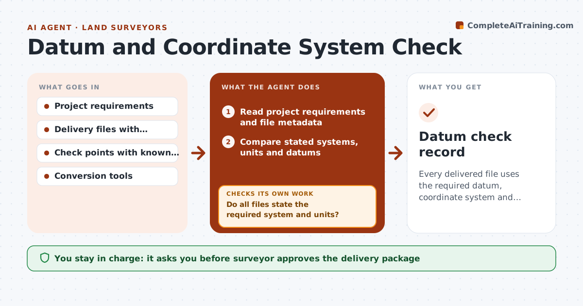
Every delivered file uses the required datum, coordinate system and units, with proof from check points.
What it does
A survey is delivered in state plane feet and the engineer reads it as meters, or a vertical datum differs by 0.7 ft. This agent checks before delivery. It reads the project requirements and compares them with the datasets' stated coordinate systems, units and datums. It tests conversions on check points, such as a known benchmark, and flags mismatches. When a conversion fails the test, it fixes the setting and reruns. It repeats after any change. You approve the delivery package. Edge case: a file with missing projection metadata is held back and the agent infers a candidate from the coordinate range, to be confirmed by you.
How it works
Follow the arrows from top to bottom. The orange dashed arrow is the loop: when a check fails, the agent goes back and tries again.
Read the steps as a list
- Delivery package assembled
- Read project requirements and file metadata
- Compare stated systems, units and datums
- Do all files state the required system and units?If not: Flag files with missing or wrong metadata and propose the setting. Back to step 2.
- Convert check points to the required system
- Compare results with known values
- Are all residuals within tolerance?If not: Correct the conversion setting and rerun. Back to step 5.
- Write the system statement for the delivery
- Surveyor approves the delivery packageThe agent waits here for your OK.
- Datum check record
How it decides
A file passes when its stated system matches the requirement and a conversion test on the check points agrees within tolerance.
- Use the system named in the contract
- Require tolerance on check points of 0.02 ft
- Hold files missing metadata
- Include a statement of units and geoid model
Make it yours
Every agent is a starting point. You choose these settings for your own situation.
- Required system and datum
- Tolerance (default 0.02 ft)
- Check points
- Delivery file types
What keeps you in control
It always asks you first
- Surveyor approves the delivery package
Hard limits
- Never deliver files itself
- Never guess a system without confirmation
It stops when
- Done: all files pass and package approved
- Stop: requirement unclear
Set it up
We guide you through the set-up, step by step
Members get the full set-up guide for this agent. No technical skills needed: you copy, paste and upload.
- One set of instructions to paste into your AI, with the clicks for ChatGPT, Claude, Microsoft 365 Copilot, Gemini and Grok
- The agent then walks you through connecting your own data, one source at a time
- A downloadable copy with the flow chart, the rules and the full guide