AI agent for land surveyors
Drone and Point Cloud Accuracy Check Agent
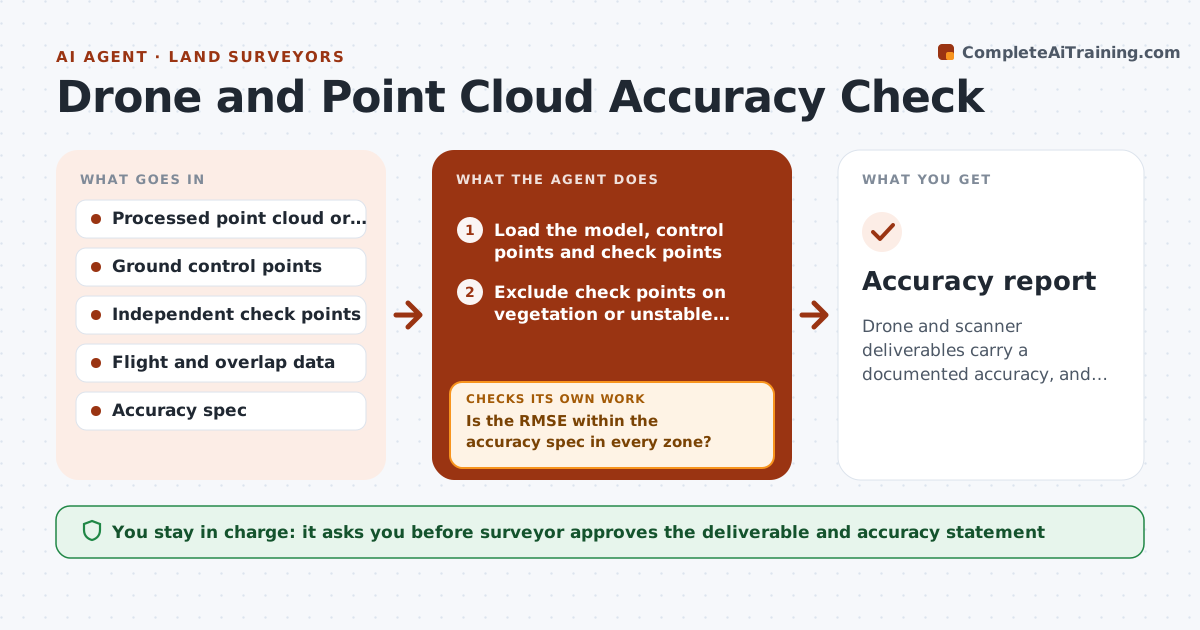
Drone and scanner deliverables carry a documented accuracy, and weak areas are fixed before delivery.
What it does
A drone model looks perfect on screen, but it sits 0.3 ft high in one corner because ground control was poor. This agent tests the model before delivery. It compares ground control and independent check points with the processed model and computes residuals. It maps areas with weak coverage, such as low overlap or few control points nearby, and recommends a reflight or extra control. After reprocessing, it reruns the checks. You approve the deliverable. Edge case: a check point on vegetation is excluded from the accuracy test and replaced with one on hard ground.
How it works
Follow the arrows from top to bottom. The orange dashed arrow is the loop: when a check fails, the agent goes back and tries again.
Read the steps as a list
- Processing complete
- Load the model, control points and check points
- Exclude check points on vegetation or unstable ground
- Compute residuals and RMSE for check points
- Is the RMSE within the accuracy spec in every zone?If not: Map the weak zones and recommend extra control or a reflight. Back to step 3.
- Analyze overlap and coverage maps
- Rerun checks after reprocessing or new control
- Do the new residuals meet the spec?If not: Repeat the recommendation with different control or flight settings. Back to step 3.
- Write the accuracy statement and map
- Surveyor approves the deliverableThe agent waits here for your OK.
- Accuracy report
How it decides
It computes RMSE of check point residuals and compares them with the spec, and marks areas with too few control points or overlap.
- Use independent check points not used in the adjustment
- Accuracy limit comes from the project spec
- Require at least 1 control point per zone
- Exclude points on vegetation
Make it yours
Every agent is a starting point. You choose these settings for your own situation.
- Accuracy spec
- Check point rules
- Zone size
- Report format
What keeps you in control
It always asks you first
- Surveyor approves the deliverable and accuracy statement
Hard limits
- Never state accuracy without check points
- Never deliver unapproved data
It stops when
- Done: accuracy documented and deliverable approved
- Stop: no independent check points available
Set it up
We guide you through the set-up, step by step
Members get the full set-up guide for this agent. No technical skills needed: you copy, paste and upload.
- One set of instructions to paste into your AI, with the clicks for ChatGPT, Claude, Microsoft 365 Copilot, Gemini and Grok
- The agent then walks you through connecting your own data, one source at a time
- A downloadable copy with the flow chart, the rules and the full guide