AI agent for land surveyors
Elevation Certificate Preparation Agent
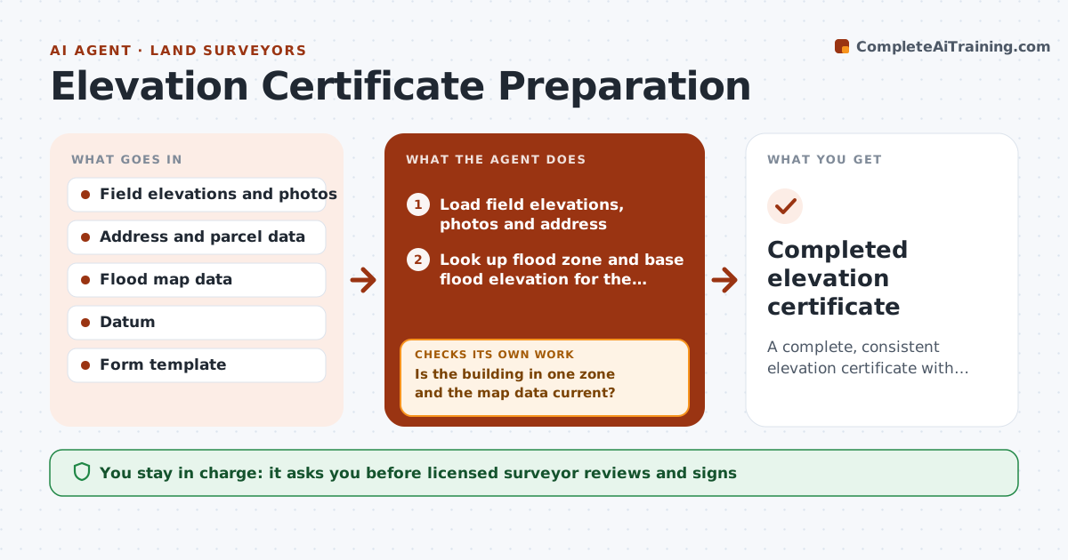
A complete, consistent elevation certificate with every field sourced, ready for the surveyor to review and sign.
What it does
An elevation certificate comes back from the insurer because the datum was missing and the base flood elevation was from the old map. This agent builds the certificate from your field work. It collects field elevations and photos, looks up the flood zone and base flood elevation for the address, checks the datum, and fills the form. It validates each field, flags conflicts such as a lowest floor elevation below the base flood elevation in a zone that requires freeboard, and reruns after you fix them. The licensed surveyor reviews and signs. Edge case: an address in two flood zones is flagged and the building's footprint is used to decide.
How it works
Follow the arrows from top to bottom. The orange dashed arrow is the loop: when a check fails, the agent goes back and tries again.
Read the steps as a list
- Field work complete
- Load field elevations, photos and address
- Look up flood zone and base flood elevation for the address
- Is the building in one zone and the map data current?If not: Check the footprint against the map panel and note the governing zone. Back to step 3.
- Convert elevations to the required datum
- Fill the form fields and attach photos
- Validate each field against rules and other fields
- Does every field pass validation?If not: List the conflicts, ask for corrections and refill. Back to step 5.
- Licensed surveyor reviews and signsThe agent waits here for your OK.
- Completed elevation certificate
How it decides
It fills each field only from field data or the flood map, and flags any value that conflicts with another field or the zone's rules.
- Use the effective flood map for the address date
- Convert all elevations to the datum on the map
- Check required photo views are included
- Flag lowest floor elevations within 1 ft of base flood elevation
Make it yours
Every agent is a starting point. You choose these settings for your own situation.
- Form version
- Datum settings
- Required photos
- Flag margin
What keeps you in control
It always asks you first
- Licensed surveyor reviews and signs
Hard limits
- Never sign or certify itself
- Never invent elevations
It stops when
- Done: certificate signed
- Stop: elevation data incomplete
Set it up
We guide you through the set-up, step by step
Members get the full set-up guide for this agent. No technical skills needed: you copy, paste and upload.
- One set of instructions to paste into your AI, with the clicks for ChatGPT, Claude, Microsoft 365 Copilot, Gemini and Grok
- The agent then walks you through connecting your own data, one source at a time
- A downloadable copy with the flow chart, the rules and the full guide