AI agent for land surveyors
Field Traverse Data QA Agent
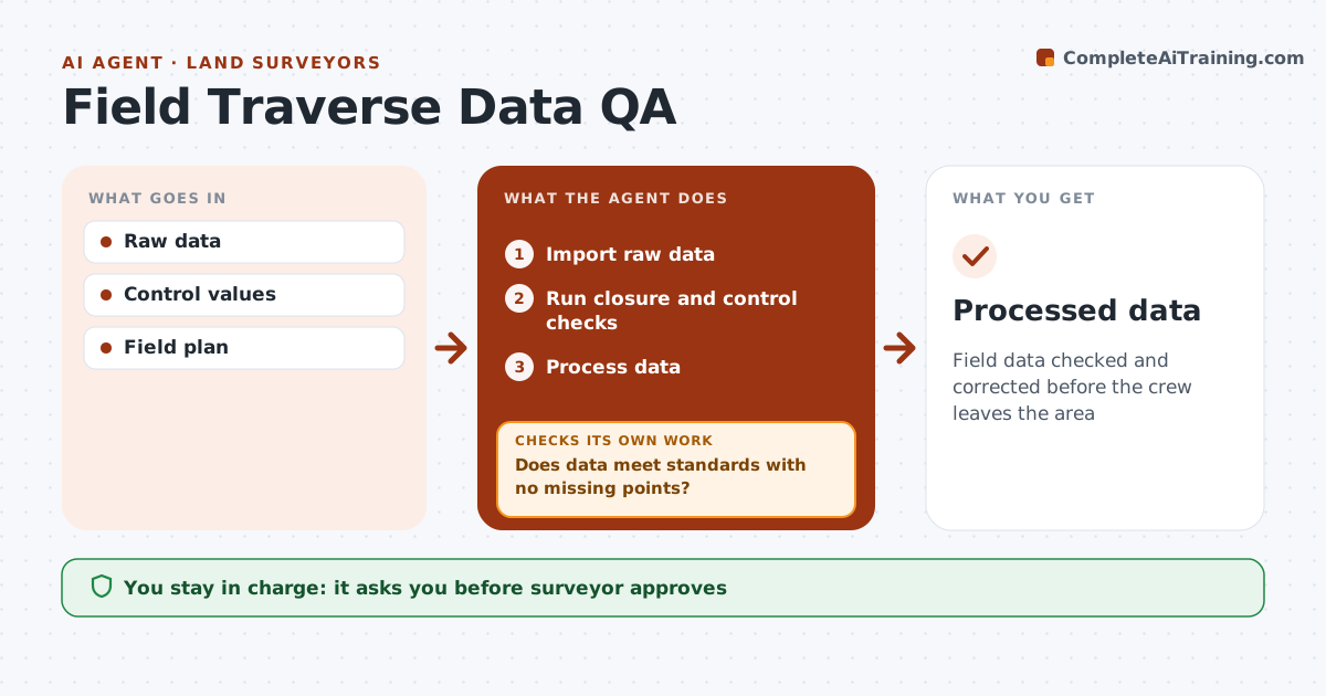
Field data checked and corrected before the crew leaves the area
What it does
Survey field data must be checked for closure, blunders and missing shots, and finding a problem after the crew has left means another trip. This agent imports raw data as the crew uploads from the field, runs traverse closure against the firm's standard and compares control points with known values. It flags bad shots, points missing from the field plan and GPS points above the precision limit. Because checks run while the crew is still nearby, it alerts the party chief with the exact setups or points to reshoot. When new data comes in, it reruns the checks until everything passes. The surveyor approves the processed data. Edge case: points whose field codes do not match the feature list are flagged so linework is not drawn wrong in the office.
How it works
Follow the arrows from top to bottom. The orange dashed arrow is the loop: when a check fails, the agent goes back and tries again.
Read the steps as a list
- Data uploaded
- Import raw data
- Run closure and control checks
- Does data meet standards with no missing points?If not: alert crew to reshoot. Back to step 3.
- Process data
- Surveyor approvesThe agent waits here for your OK.
- Processed data
How it decides
Closure and precision must meet standards. Missing or bad shots trigger reshoot.
- Closure standard
- GPS precision limit
- Field plan points required
Make it yours
Every agent is a starting point. You choose these settings for your own situation.
- Closure standard
- GPS limits
- Alert channel
- Field plan
What keeps you in control
It always asks you first
- Surveyor approves
Hard limits
- Never changes raw data
- Alerts only
It stops when
- Done: approved
- Stop: equipment failure
Set it up
We guide you through the set-up, step by step
Members get the full set-up guide for this agent. No technical skills needed: you copy, paste and upload.
- One set of instructions to paste into your AI, with the clicks for ChatGPT, Claude, Microsoft 365 Copilot, Gemini and Grok
- The agent then walks you through connecting your own data, one source at a time
- A downloadable copy with the flow chart, the rules and the full guide