AI agent for land surveyors
GNSS Data Quality Triage Agent
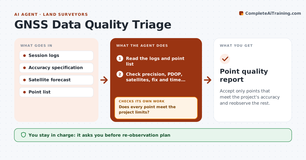
Accept only points that meet the project's accuracy and reobserve the rest.
What it does
A bad GNSS shot under tree cover looks like any other point on the data collector. This agent reads the session logs and checks precision, PDOP, number of satellites, fix type and occupation time for every point. It flags weak shots, and for each one it suggests a better time window using the satellite forecast, or a different method. It rechecks the points after the second session, and compares repeat shots. You approve which points are accepted. Edge case: a shot has a good horizontal value but a vertical value 3 times the limit, and the agent flags it as weak.
How it works
Follow the arrows from top to bottom. The orange dashed arrow is the loop: when a check fails, the agent goes back and tries again.
Read the steps as a list
- GNSS session is downloaded
- Read the logs and point list
- Check precision, PDOP, satellites, fix and time for each point
- Does every point meet the project limits?If not: List the weak points with the failed limit. Back to step 3.
- Check the satellite forecast and propose a re-observation time or method for each weak point
- Surveyor approves the re-observation planThe agent waits here for your OK.
- Read the second session data
- Compare repeat shots with the first
- Do the points now meet the limits and agree?If not: Keep the weak points open and repeat the plan. Back to step 5.
- Surveyor approves the accepted pointsThe agent waits here for your OK.
- Point quality report
How it decides
It tests every point against the limits and flags those that fail any of them. It compares repeat observations before accepting a point.
- Horizontal under 0.05 ft and vertical under 0.1 ft (default)
- PDOP above 3 is flagged
- Repeat shots must agree within the tolerance
- Fix type must be fixed
Make it yours
Every agent is a starting point. You choose these settings for your own situation.
- Accuracy limits
- PDOP limit (default 3)
- Minimum occupation time
- Repeat tolerance
- Satellite forecast source
What keeps you in control
It always asks you first
- Re-observation plan
- Accepted points
Hard limits
- Never accepts a point itself
- Never changes raw data
- Records every limit
It stops when
- Done: all points meet limits
- Stop: site conditions prevent GNSS; surveyor uses another method
Set it up
We guide you through the set-up, step by step
Members get the full set-up guide for this agent. No technical skills needed: you copy, paste and upload.
- One set of instructions to paste into your AI, with the clicks for ChatGPT, Claude, Microsoft 365 Copilot, Gemini and Grok
- The agent then walks you through connecting your own data, one source at a time
- A downloadable copy with the flow chart, the rules and the full guide