AI agent for meteorologists
Radar Outage Coverage Agent
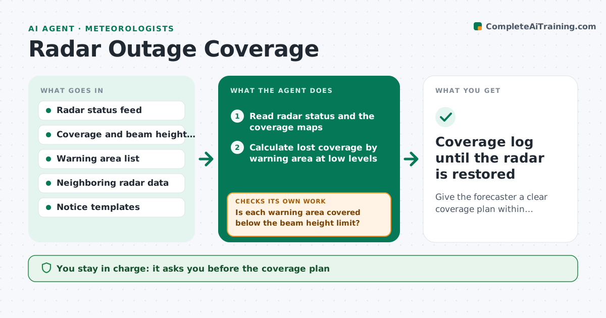
Give the forecaster a clear coverage plan within minutes of a radar outage.
What it does
When a radar goes down in the middle of a severe weather day, the forecaster has to work out fast which areas lose coverage, which radars and satellite products can fill in, and who needs to know. This agent starts when an outage is logged. It maps the lost coverage by beam height over each warning area, finds neighboring radars that can see those areas, and checks their range, beam height and own status. It adds satellite, lightning and spotter sources where radar gaps remain. It drafts a coverage plan and the internal and partner notices. It rechecks as the radar status changes, and updates when the radar returns. It never sends a notice. The forecaster approves them. Edge case: a radar in partial service gets a degraded rating, not a full outage.
How it works
Follow the arrows from top to bottom. The orange dashed arrow is the loop: when a check fails, the agent goes back and tries again.
Read the steps as a list
- Radar outage reported
- Read radar status and the coverage maps
- Calculate lost coverage by warning area at low levels
- Check neighboring radars for status, range and beam height
- Is each warning area covered below the beam height limit?If not: add satellite, lightning and spotter coverage and mark the remaining gaps. Back to step 4.
- Write the coverage plan by area
- Draft internal and partner notices
- Forecaster approves the plan and noticesThe agent waits here for your OK.
- Monitor radar status for changes
- Has the radar status changed?If not: recompute coverage and redraft the plan. Back to step 2.
- Coverage log until the radar is restored
How it decides
A warning area counts as covered if a working radar sees it below the set beam height. Areas with no such coverage are listed as gaps and get alternate sources.
- Count an area as covered if a working radar beam is below 3 km there
- Mark a partly working radar as degraded and note which sectors fail
- Add satellite and spotter sources for areas without radar coverage
- Redraft the plan when the status changes
Make it yours
Every agent is a starting point. You choose these settings for your own situation.
- Beam height limit (default 3 km)
- Warning areas and radars
- Notice recipients
- Alternate sources to use
- Status check interval
What keeps you in control
It always asks you first
- The coverage plan
- All notices to staff and partners
Hard limits
- Never send notices or change warning areas
- State clearly which areas have reduced coverage
It stops when
- Done: radar restored and plan closed
- Stop: outage lasts beyond the shift and handover is needed
Set it up
We guide you through the set-up, step by step
Members get the full set-up guide for this agent. No technical skills needed: you copy, paste and upload.
- One set of instructions to paste into your AI, with the clicks for ChatGPT, Claude, Microsoft 365 Copilot, Gemini and Grok
- The agent then walks you through connecting your own data, one source at a time
- A downloadable copy with the flow chart, the rules and the full guide