AI agent for landscape architects
Site Analysis Data Compile Agent
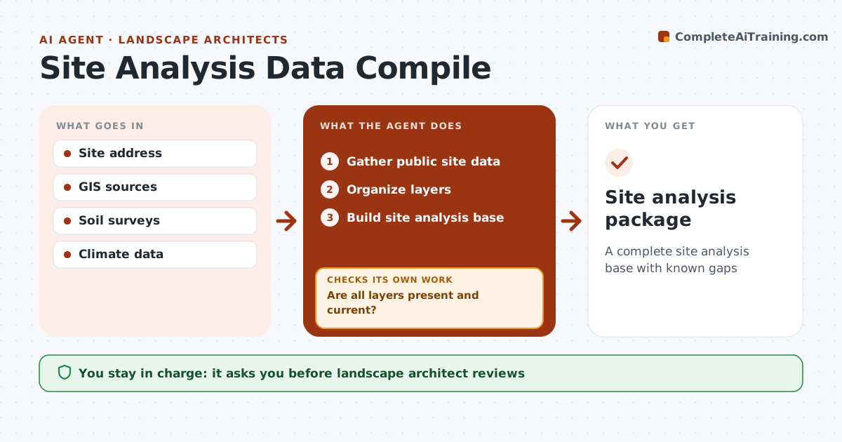
A complete site analysis base with known gaps
What it does
At the start of a project, landscape architects need site data on topography, soils, hydrology, climate, sun, vegetation and utilities, and gathering it from many sources takes days. This agent pulls these from public GIS, soil surveys and climate data and organizes them into a site analysis base. It then checks each layer for gaps and date. Data older than five years is flagged. If a layer is missing or outdated, it notes what must be collected on site, such as a new topographic survey or soil tests, and adds it to the field task list, then checks again once new data arrives. The landscape architect reviews the package before design starts. Edge case: flood zone status is always checked, even when the site looks high and dry, because flood maps change and surprises are costly.
How it works
Follow the arrows from top to bottom. The orange dashed arrow is the loop: when a check fails, the agent goes back and tries again.
Read the steps as a list
- Project start
- Gather public site data
- Organize layers
- Are all layers present and current?If not: note gaps for field collection. Back to step 2.
- Build site analysis base
- Landscape architect reviewsThe agent waits here for your OK.
- Site analysis package
How it decides
Layers must be current. Missing layers become field tasks.
- Flood zone always checked
- Data older than 5 years flagged
- Gaps become field tasks
Make it yours
Every agent is a starting point. You choose these settings for your own situation.
- Layers
- Age limit
- Sources
- Format
What keeps you in control
It always asks you first
- Landscape architect reviews
Hard limits
- Uses public data
- Never trespasses
It stops when
- Done: package ready
- Stop: site not identified
Set it up
We guide you through the set-up, step by step
Members get the full set-up guide for this agent. No technical skills needed: you copy, paste and upload.
- One set of instructions to paste into your AI, with the clicks for ChatGPT, Claude, Microsoft 365 Copilot, Gemini and Grok
- The agent then walks you through connecting your own data, one source at a time
- A downloadable copy with the flow chart, the rules and the full guide