
Eagleview Launches Agentic AI Engine Built on 25 Years of Property Data
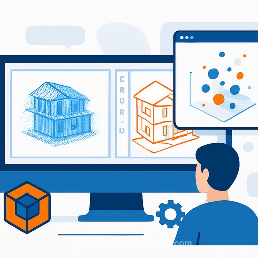
Eagleview announced the launch of Eagleview Horizon on April 29, an AI engine that combines aerial imagery with property intelligence to help construction firms, insurers, and property managers solve operational problems. The platform uses data from Eagleview's fleet of 100 aircraft, which has imaged nearly every property in the United States over the past two decades.
Eagleview Horizon works as an agent that can be queried in natural language. A roofing contractor can ask for a map of every roof over 15 years old within two miles of a hailstorm, filtered by type and condition. An insurance claims manager can request properties in a storm zone ranked by damage likelihood. A property manager overseeing 50,000 units can identify assets approaching maintenance risk.
The platform includes more than 20 tools and integrations with the Model Context Protocol, allowing external AI systems to directly access Eagleview's data and analyses. This agent-to-agent capability means other software can call Eagleview Horizon without human intervention.
Who This Affects
The platform targets industries representing over $1 trillion in annual U.S. economic activity. Property and casualty insurance direct premiums exceeded $1.05 trillion in 2024. The roofing and construction market is worth $28 billion and employs more than 100,000 contractors. Property management oversees 45 million rental units globally. Government tax assessment relies on $797 billion in annual property tax revenue.
Solar installers can use Horizon to qualify leads and prioritize outreach. Commercial roofers can identify structural changes and pinpoint prospective projects. Infrastructure managers can track asset changes over time to plan maintenance. Landscapers and home services firms can prospect for customers and deliver estimates faster.
The platform is designed for both technical and non-technical users. GIS professionals can run sophisticated analyses. Architects and engineers can screen parcels for site selection, historical weather impact, and flood zones.
Data and Access
Eagleview Horizon fuses the company's proprietary aerial imagery with external data sources and customer datasets into a single interface. The imagery library contains 3.5 billion photos covering 96 percent of the U.S. population. The company holds more than 300 patents related to geospatial technology.
Eagleview will make Horizon available by invitation only starting June 1 through its Eagleview One platform. Interested users can join the waitlist at eagleview.com/horizon.
Bert Hess, CEO of Florida Roofing and Gutters, said the tool reduced prospect identification from hours across multiple platforms to minutes in one place. "The targeting and time-saving capabilities are a game-changer for more effective canvassing," Hess said.
Learn more about AI for Real Estate & Construction or explore how AI Agents & Automation are reshaping workflows across industries.
Your membership also unlocks: