
AI news ·
Portable AI weather platform delivers localized, minute-scale forecasts for marine industries
A portable AI weather platform from Taiwan's NPUST delivers hyperlocal, self-correcting forecasts. In marine tests, it averaged a wave-height error of just 0.39 meters.
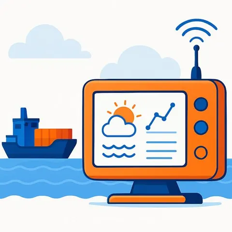
A research team at National Pingtung University of Science and Technology (NPUST) in Taiwan has developed a portable AI weather intelligence platform that produces high-resolution, self-correcting forecasts for hyperlocal operational decisions. The system addresses the "last-mile" problem in weather services - where regional forecasts fail to capture rapid changes over a few kilometers or minutes that determine whether a vessel sails, a construction crew works, or a tour proceeds. Commercial testing is underway, and the platform has already exceeded 90% forecast accuracy in controlled scenarios.
How the platform turns raw data into actionable intelligence
The system integrates AI deep-learning models with conventional meteorological frameworks, satellite observations, and localized environmental sensors. It continuously refines its predictions as new data streams in, making it a self-correcting decision-support system rather than a static weather app. The output includes minute-scale updates and kilometer-level resolution - not the city-scale alerts typical of consumer services.
"For many industries, the true value of weather information is not simply the forecast itself, but the operational decisions it enables," said Professor Uzu-Kuei Hsu (Hudson Hsu), who leads the project. "Our objective is to provide localized, real-time weather intelligence that supports safer, faster, and more efficient decision-making."
Marine forecasting accuracy validated at sea
In marine tests, an AI model designed by the team estimated near-surface wind fields and wave heights from satellite and meteorological data. When compared against buoy observations, the average wave-height error was 0.39 meters. That level of precision can help fisheries managers, coastal tour operators, and port supervisors decide whether to delay or green-light activities. The platform's ability to refine wave-height estimates and deliver minute-scale updates makes it a working example of AI for Operations in high-stakes environments.
Moving from research to real-world deployment
The project has advanced beyond conceptual design. The team has completed a prototype, conducted proof-of-concept tests, and begun intellectual property planning. Venture discussions and industry partnership talks are already taking place, supported by the Southern Taiwan Science and Technology Group initiative. The goal is a portable system that any operations team can deploy at the point of need, without relying on centralized forecasting agencies.
Why this matters for operations
For operations leaders in marine transport, logistics, construction, and coastal tourism, weather uncertainty directly translates into revenue loss, safety risk, and scheduling chaos. This platform signals a shift toward operationally embedded weather intelligence - forecasts that speak the language of go/no-go decisions, not probability percentages. As climate variability increases, the ability to receive a self-correcting, localized alert 30 minutes ahead of a sudden squall can mean the difference between a safe shutdown and a costly incident. For managers who want to build in-house expertise, the AI Learning Path for Operations Managers offers a structured way to understand how AI can be woven into critical operational workflows.