AI agent for insurance risk analysts
Catastrophe Model Output Review Agent
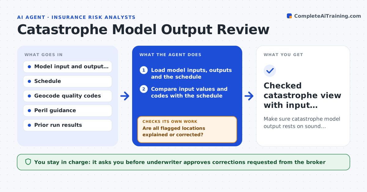
Make sure catastrophe model output rests on sound inputs and that the underwriter sees a checked view.
What it does
Catastrophe model output looks authoritative, but poor inputs make it wrong, and underwriters often trust the figure without checking. The agent compares modeled losses with the schedule, location by location. It flags places with low geocode quality, default construction assumptions, values that do not match the schedule, and results that are odd for the peril, such as a coastal property with a very low wind loss. It requests corrected inputs from the broker or data team, re-runs the comparison and confirms the output moves in the expected direction. It stops when the inputs and outputs agree. Edge case: a tower geocoded to the center of a ZIP code shows low flood loss, so it is flagged for a rooftop geocode before the figure is used.
How it works
Follow the arrows from top to bottom. The orange dashed arrow is the loop: when a check fails, the agent goes back and tries again.
Read the steps as a list
- Model run completes
- Load model inputs, outputs and the schedule
- Compare input values and codes with the schedule
- Flag low geocode quality and default assumptions
- Compare modeled loss ratios with similar locations
- Are all flagged locations explained or corrected?If not: Request corrected inputs and rerun the model for those locations. Back to step 3.
- Re-run the comparison with the new output
- Did the corrected run move in the expected direction and agree with the schedule?If not: Investigate the mismatch and request a further fix. Back to step 3.
- Underwriter approves the final view of modeled lossThe agent waits here for your OK.
- Checked catastrophe view with input quality notes
How it decides
It trusts a location result only when the geocode is high quality, the inputs match the schedule and the loss is within a reasonable range for similar locations. Others are flagged with the reason and the likely effect.
- Any location with a geocode below rooftop level in a flood or surge zone is flagged
- Total modeled value must equal schedule value within 1 percent
- A location loss more than 3 times the median of similar locations is flagged
- Default construction assumptions on more than 10 percent of value trigger a data request
Make it yours
Every agent is a starting point. You choose these settings for your own situation.
- Geocode quality level accepted by peril
- Value agreement tolerance (default 1 percent)
- Outlier multiple for loss (default 3 times median)
- Share of defaulted values that triggers a data request
What keeps you in control
It always asks you first
- Underwriter approves corrections requested from the broker
- Underwriter approves the final modeled view used in pricing
Hard limits
- Never changes model settings or results without recording the change
- Never presents output as final when inputs are flagged
It stops when
- Done: inputs and outputs agree and the view is approved
- Stop: inputs cannot be corrected, so the underwriter is told the confidence level
Set it up
We guide you through the set-up, step by step
Members get the full set-up guide for this agent. No technical skills needed: you copy, paste and upload.
- One set of instructions to paste into your AI, with the clicks for ChatGPT, Claude, Microsoft 365 Copilot, Gemini and Grok
- The agent then walks you through connecting your own data, one source at a time
- A downloadable copy with the flow chart, the rules and the full guide