AI tool
PangeAI
PangeAI lets AI agents automate geospatial work - coordinate reprojection, format conversion and spatial queries - so teams skip tedious GIS chores and get accurate maps and transformed datasets faster.
About PangeAI
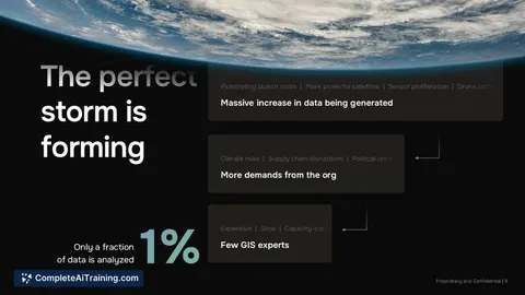
PangeAI is an agentic layer over geospatial data that lets teams query satellite imagery, vector geometries, and coordinate systems through AI agents. It aims to answer physical-world questions without requiring a dedicated GIS team, promising fast results for common operational queries.
Review
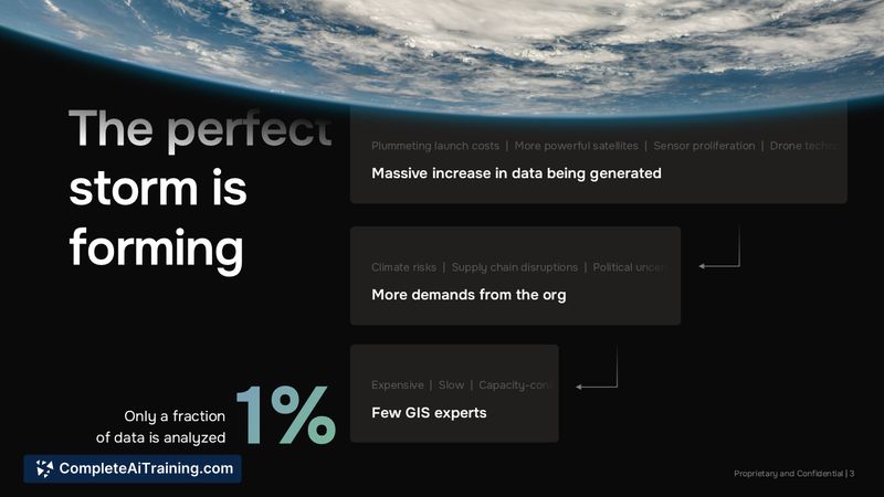
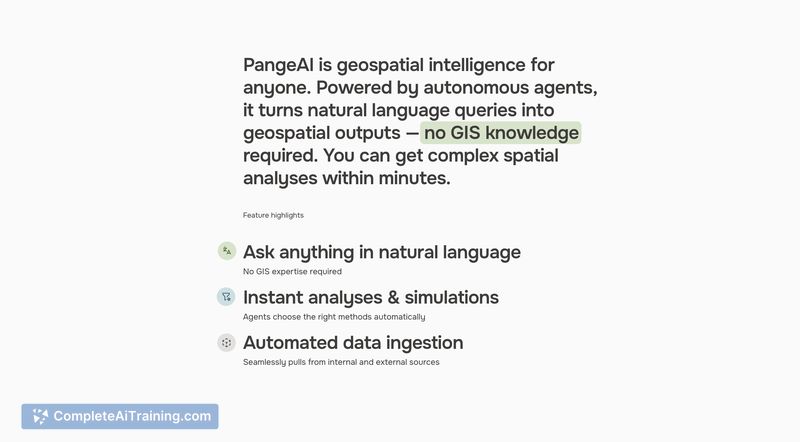
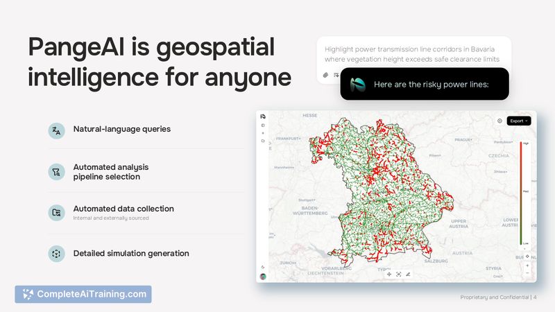
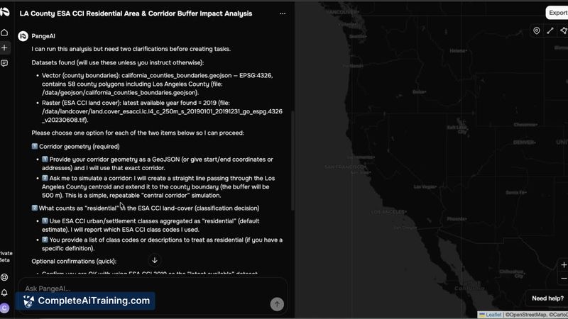
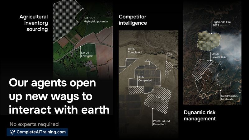
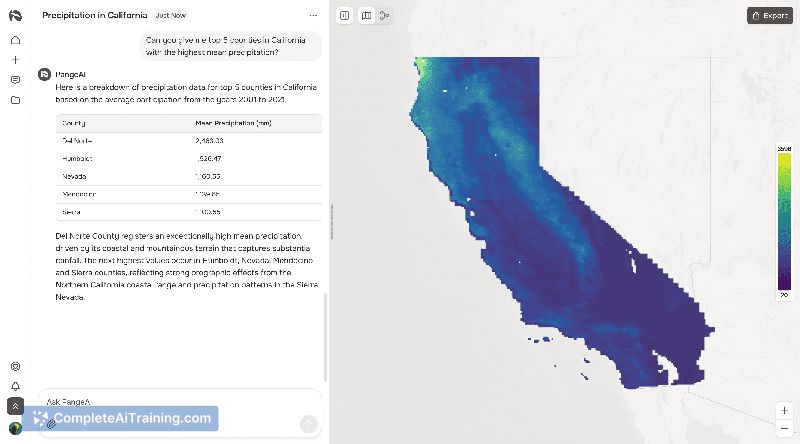
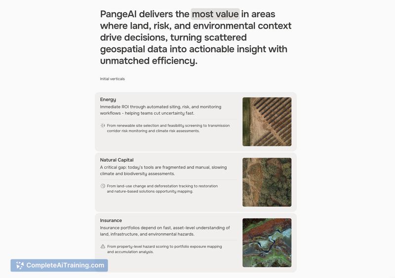

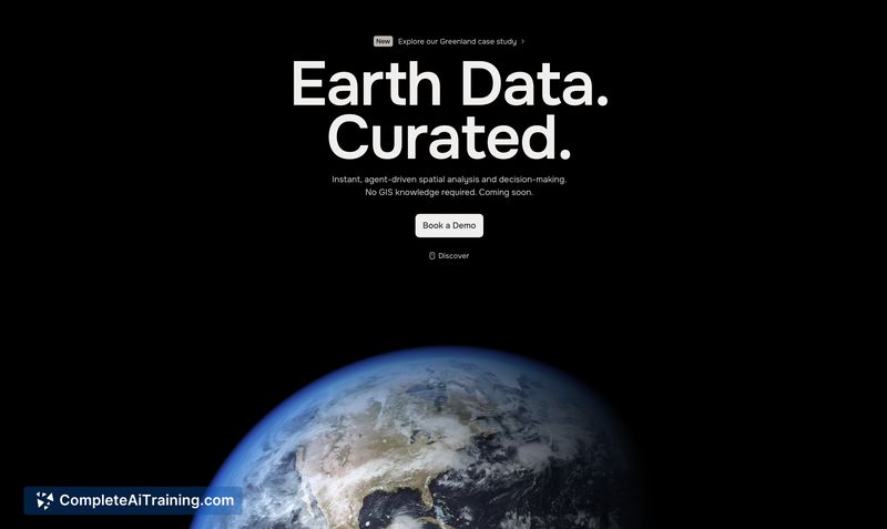
PangeAI focuses on agent-driven spatial analysis and decision-making, offering a workflow for asking concrete, site-level questions and getting actionable answers quickly. The product targets users who need to convert map and Earth-data into decisions without deep GIS expertise.
Key Features
- Agent-driven spatial analysis that interprets satellite imagery and vector data.
- Support for multiple geospatial data types and coordinate systems so users can work with existing datasets.
- Fast, query-oriented workflows for operational questions (example: "Which of my 400 sites flooded last month?").
- Visual data outputs and integrations aimed at making results easy to review and share.
- Flexible deployment approaches that accommodate cloud and on-prem processing needs.
Pricing and Value
Public pricing is not listed at launch. Given the product's focus, likely models could include subscription tiers, usage-based billing, or enterprise licensing for larger deployments. The core value proposition is time saved and reduced reliance on specialized GIS staff: organizations that manage many locations or need frequent site assessments can see quick operational benefits.
Pros
- Speeds up common spatial tasks, turning multi-week analyses into minutes.
- Reduces the need for a dedicated GIS team by exposing agent-driven queries to non-experts.
- Handles a range of geospatial inputs (satellite imagery, vectors, coordinate systems).
- Useful for site monitoring, incident response, and portfolio-level assessments.
Cons
- Newly launched with a limited set of public reviews and case studies to verify performance at scale.
- Onboarding and data preparation may be required to ensure coordinate systems and inputs are correct.
- Enterprise features and pricing details are not yet transparent, which may complicate procurement decisions.
Overall, PangeAI is best suited for operations teams, asset managers, and product groups that need rapid, repeatable answers from Earth data without building out a GIS organization. Early adopters who manage large site portfolios or run frequent monitoring tasks will likely see the most immediate benefit.
Jobs PangeAI suits
We checked PangeAI against 500+ jobs; these get the most out of it.