MCP server · API
LocuSync GIS MCP server
by matbel91765
Let your AI look up addresses, map routes, check elevations, and work with map files for you.
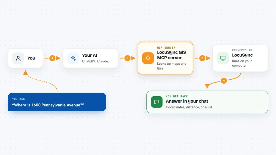
LocuSync is a helper that gives your AI assistant map skills. It can turn an address into map coordinates, find a route between two places, check how high a spot is, and read or write common map files. It is handy if you work with locations, deliveries, travel plans, or any kind of map data and want to ask questions in plain words instead of clicking around a map tool.
What is an MCP server? The 30-second version
On its own, your AI can only chat with you using what it already knows. An MCP server is a small helper program that gives your AI a new skill or a connection to another service. LocuSync is that helper for maps and locations: once it is connected, your AI can reach out to map services like OpenStreetMap and Open-Elevation to look things up or do things for you. You just ask in normal words, and the helper does the map work behind the scenes.
What this MCP server does
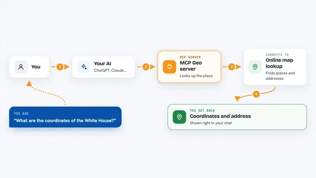
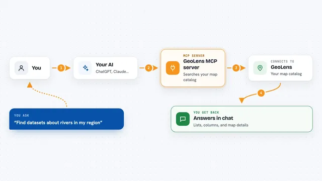
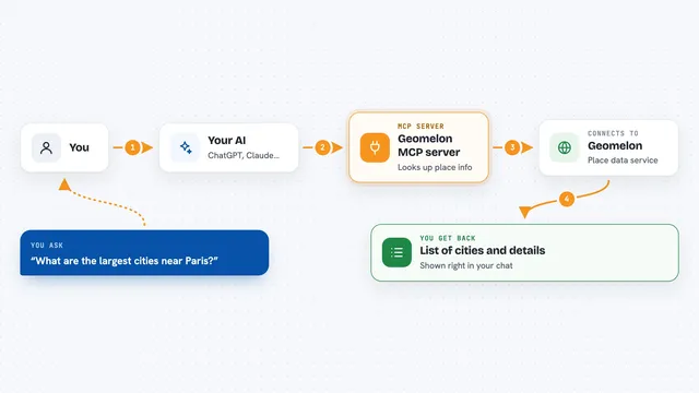
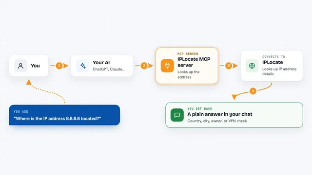
You ask your AI something like where an address is or how far two cities are. The AI passes that request to LocuSync, which is running quietly on your computer. LocuSync then talks to map services on the internet, like OpenStreetMap for addresses and OSRM for routes, or reads a map file you have on your disk. The answer comes back to your AI, which explains it to you in the chat, often with numbers, a list, or a small map shape.
 Click to zoom
What you can do with it
- Turn an address into map coordinates and back again
- Look up several addresses at once in a single request
- Find the route between two points with distance and travel time
- Check the altitude of a spot or along a walking path
- Measure the distance between two places in meters, kilometers, or miles
- Draw a buffer zone around a point, like a 1 km circle
- Read and write Shapefile, GeoJSON, and GeoPackage map files
Try asking your AI
- “Where is 1600 Pennsylvania Avenue on the map?”
- “How long does it take to drive from Paris to Berlin?”
- “What is the elevation of this point in the Alps?”
- “Read the cities.shp file and tell me how many places are in it”
What it gives back to you
You get a short answer in the chat, usually with the numbers or names you asked for. For example, an address lookup gives you coordinates and a full place name, and a route gives you distance, travel time, and the steps along the way. File reads come back as a list of map features your AI can describe or summarize. If something fails, the AI tells you what went wrong instead of guessing.
Before you start
What you need
- Python installed on your computer
- The uvx tool (a small program that runs helper apps; the install guide shows how)
- An internet connection, since addresses, routes, and elevations come from online map services
Good to know
It can write to files on your computer when you ask it to save map data, so check the file path before saying yes.
Install it with your AI
Add LocuSync GIS MCP server to your AI, no technical skills needed
You don't install anything by hand. You copy one prompt, paste it into an AI that can work on your computer, and it checks, installs and connects the server for you, asking you when it needs something.
Sign in to get the install prompt
Members get a ready-made prompt that lets the Claude desktop app check LocuSync GIS MCP server, install it and connect it for them, step by step. You don't need any technical skills: you copy, paste and answer a few questions. Your connected AI can also find and install any of the 4,361 MCP servers here for you.
Who it's for
People who work with locations, deliveries, travel plans, city data, or map files and want to ask their AI questions in plain words.