MCP server · Research
GeoLabel MCP server
by geolabel
Lets your AI turn GPS coordinates into a place name, category, and live opening hours.

GeoLabel is a small helper that lets your AI look up what is at a set of GPS coordinates. You give it a latitude and longitude, and it tells you the place name, what kind of place it is, and whether it is open right now. It is handy if you work with location data, travel plans, or field notes and want plain answers instead of raw numbers.
What is an MCP server? The 30-second version
On its own, your AI can only chat with you using what it already knows. An MCP server is a small helper program that gives your AI a new skill or a connection to an outside service. This one connects your AI to GeoLabel, which looks up places on OpenStreetMap. Once it is connected, you can ask about a location and your AI will fetch the details for you.
What this MCP server does
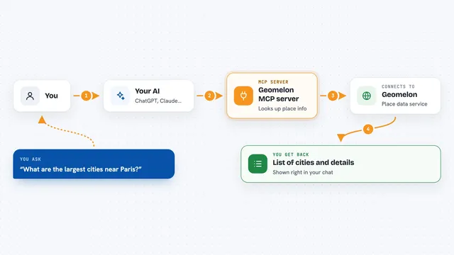
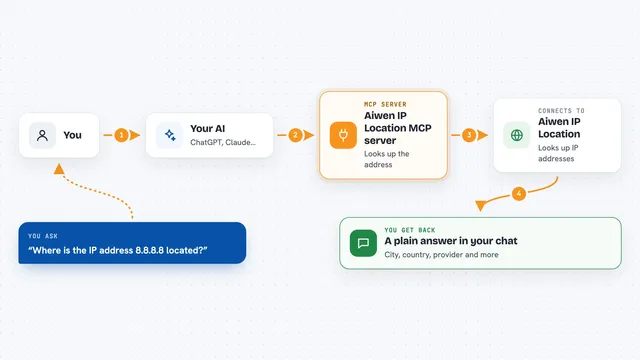
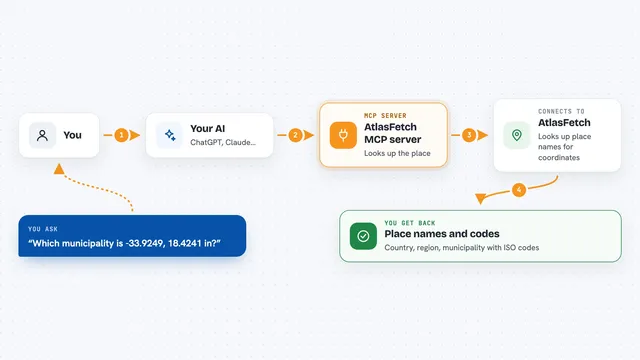
You ask your AI something like what is at these coordinates and is it open. Your AI passes the latitude and longitude to the GeoLabel helper. The helper asks the GeoLabel service, which checks OpenStreetMap for the nearest named place. It works out the place name, a simple category like gym or supermarket, and the opening hours. Then your AI tells you the answer in plain words in the chat.
 Click to zoom
What you can do with it
- Find the name of the place at a set of coordinates
- See what kind of place it is, like a gym, restaurant, or supermarket
- Check whether a place is open or closed right now
- Find out what time it closes today or opens next
- Measure how far the place is from your coordinates
- Look up several locations in a row without leaving the chat
Try asking your AI
- “I'm at 41.8827, -87.6233. What's here and is it open?”
- “What is the nearest place to 51.5074, -0.1278 within 200 metres?”
- “Is the place at 48.8584, 2.2945 open right now?”
- “Give me the name and category of whatever is at 40.7484, -73.9857.”
What it gives back to you
You get back a short set of details: the place name, a clean label, a category, the distance in metres, and whether it is open. If it is open, you also see today's closing time. If it is closed, you see when it opens next. Your AI turns that into a normal sentence in the chat, like telling you the place and how long until it closes.
Before you start
What you need
- A GeoLabel API key (free at geolabel.dev, 100 requests per day, no credit card needed)
- An MCP-compatible assistant like Claude Desktop, Claude Code, Hermes Agent, or OpenClaw
- Python with uvx available if you use the uvx install method
Good to know
It only reads public map data, but it does send the coordinates you give it to the GeoLabel service, so avoid sharing private or sensitive locations you would rather not send out.
Install it with your AI
Add GeoLabel MCP server to your AI, no technical skills needed
You don't install anything by hand. You copy one prompt, paste it into an AI that can work on your computer, and it checks, installs and connects the server for you, asking you when it needs something.
Sign in to get the install prompt
Members get a ready-made prompt that lets the Claude desktop app check GeoLabel MCP server, install it and connect it for them, step by step. You don't need any technical skills: you copy, paste and answer a few questions. Your connected AI can also find and install any of the 4,361 MCP servers here for you.
Who it's for
People who work with locations, travel, deliveries, or field notes and want quick plain answers about what is at a set of coordinates.